
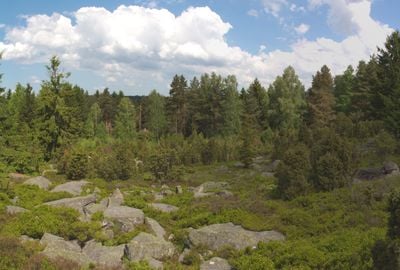
Hadí vrch, special area of conservation in the Czech Republic
Location: Staré Město pod Landštejnem
GPS coordinates: 48.96315,15.19626
Latest update: March 16, 2025 18:53

Schloss Illmau
4.2 km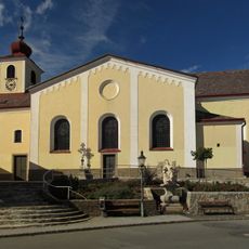
Pfarrkirche Kautzen
4.8 km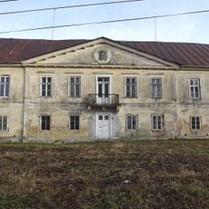
Dobrohoř
5.7 km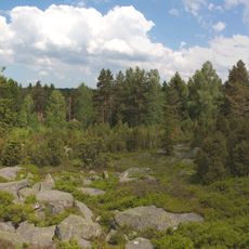
Hadí vrch
51 m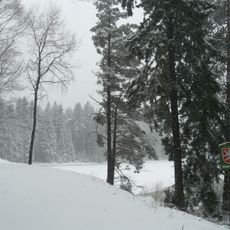
Gebhárecký rybník
4.4 km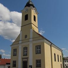
Parish church, Reingers
3.5 km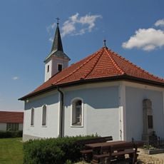
Ortskapelle Leopoldsdorf
4.6 km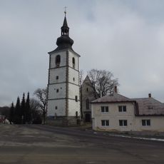
Church of the Assumption (Staré Město pod Landštejnem)
6.2 km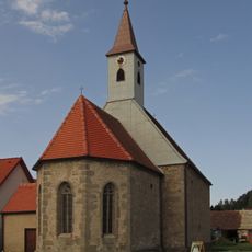
St. Andreas
5.9 km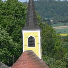
Chapel in Tiefenbach
6.4 km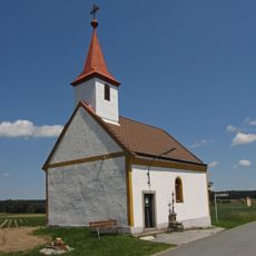
Ortskapelle Reinberg-Litschau
5.1 km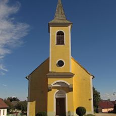
Ortskapelle Illmau
3.9 km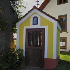
Flur-/Wegkapelle
5.9 km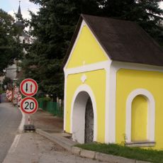
Chapel of Saint John of Nepomuk
6.3 km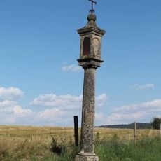
Column shrine in Podlesí
5.6 km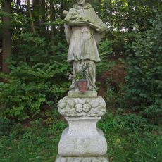
Figurenbildstock hl. Johannes Nepomuk
5.9 km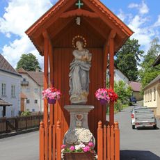
Figurenbildstock Maria Immaculata
5.7 km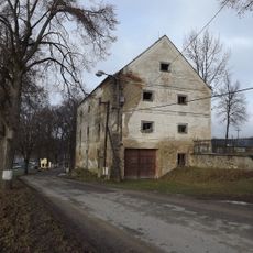
Sýpka
5.8 km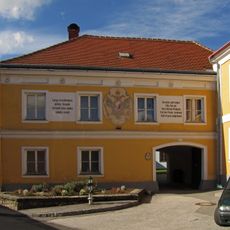
Pfarrhof
4.8 km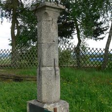
Galgenstein
2.7 km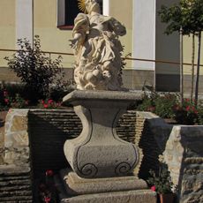
Figurenbildstock hl. Donatus
4.9 km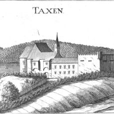
Schloss Großtaxen
5.6 km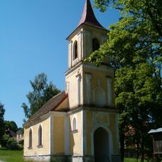
Chapel of Saint Thérèse of Lisieux
4.7 km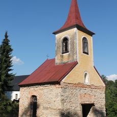
Chapel of Saint Mary of Help
5.6 km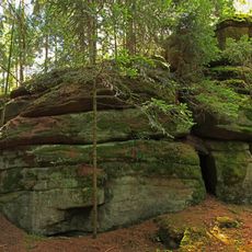
Katzenstein
5.4 km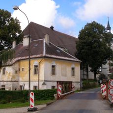
Škola
6.2 km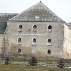
Usedlost čp. 99
5.8 km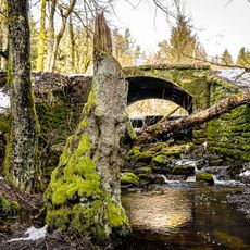
Most přes přeliv Romavského mlýnského rybníka
2.1 kmReviews
Visited this place? Tap the stars to rate it and share your experience / photos with the community! Try now! You can cancel it anytime.
Discover hidden gems everywhere you go!
From secret cafés to breathtaking viewpoints, skip the crowded tourist spots and find places that match your style. Our app makes it easy with voice search, smart filtering, route optimization, and insider tips from travelers worldwide. Download now for the complete mobile experience.

A unique approach to discovering new places❞
— Le Figaro
All the places worth exploring❞
— France Info
A tailor-made excursion in just a few clicks❞
— 20 Minutes