
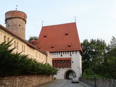
Bechyňská brána, pozůstatek městského opevnění
Location: Tábor
Architects: Josef Mocker
GPS coordinates: 49.41137,14.65541
Latest update: November 2, 2025 20:40
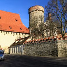
Kotnov
41 m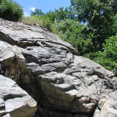
Granátová skála
120 m
Church of Saints James and Philip
101 m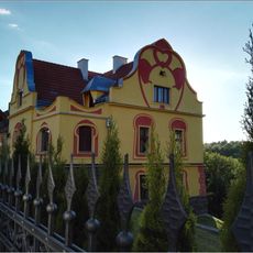
Bílkova vila
132 m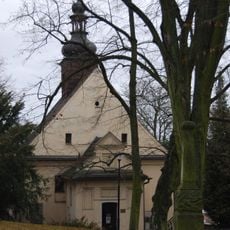
Park Pod Kotnovem
128 m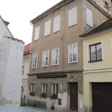
Měšťanský dům
109 m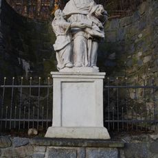
Socha svaté Anny
169 m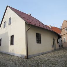
Měšťanský dům
196 m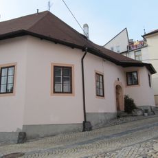
Měšťanský dům
208 m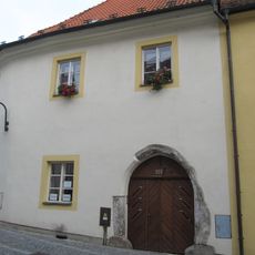
Měšťanský dům
206 m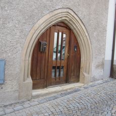
Měšťanský dům
155 m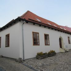
Měšťanský dům
182 m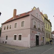
Měšťanský dům
146 m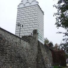
City walls in Tábor
2 m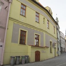
Měšťanský dům
155 m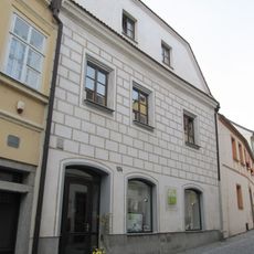
Měšťanský dům
183 m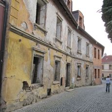
Měšťanský dům
192 m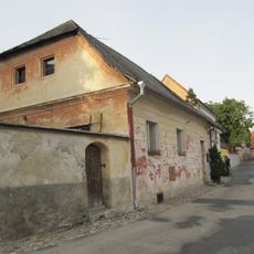
Měšťanský dům
193 m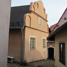
Měšťanský dům
202 m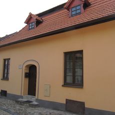
Měšťanský dům
142 m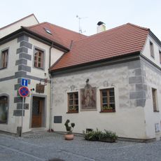
Měšťanský dům
169 m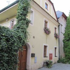
Měšťanský dům
194 m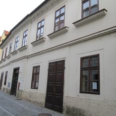
Měšťanský dům
188 m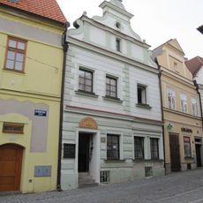
Měšťanský dům
166 m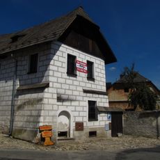
Měšťanský dům
178 m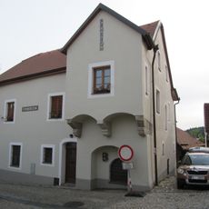
Měšťanský dům
165 m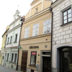
Měšťanský dům
176 m
Měšťanský dům
185 mReviews
Visited this place? Tap the stars to rate it and share your experience / photos with the community! Try now! You can cancel it anytime.
Discover hidden gems everywhere you go!
From secret cafés to breathtaking viewpoints, skip the crowded tourist spots and find places that match your style. Our app makes it easy with voice search, smart filtering, route optimization, and insider tips from travelers worldwide. Download now for the complete mobile experience.

A unique approach to discovering new places❞
— Le Figaro
All the places worth exploring❞
— France Info
A tailor-made excursion in just a few clicks❞
— 20 Minutes