
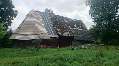
Roubená polygonální stodola, kulturní památka České republiky na území obce Hodslavice
Location: Hodslavice
Inception: 19 century
GPS coordinates: 49.53799,18.02116
Latest update: March 3, 2025 01:00
Kacabaja
1.4 km
Svinec
4.2 km
Evangelical church
171 m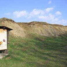
Pikritové mandlovce u Kojetína
3.5 km
Požaha
3.7 km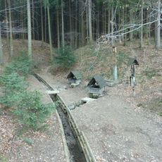
Prameny Zrzávky
1.6 km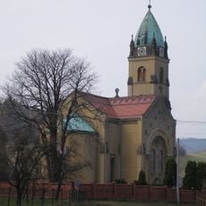
Church of the Divine Heart of Jesus
277 m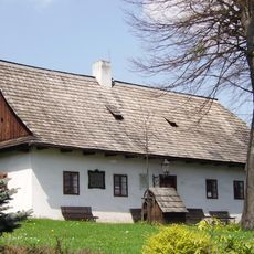
Birth house of František Palacký
102 m
Jasenice
4.3 km
Polštářové lávy ve Straníku
2.7 km
Church of Saint Andrew
70 m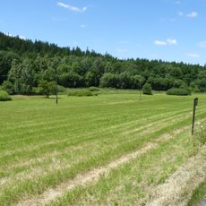
Domorazské louky
2.7 km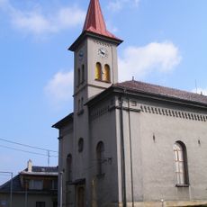
Church of Saint George
2.8 km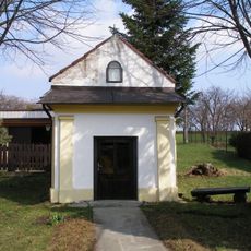
Chapel of Our Lady of Sorrows
3.1 km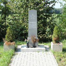
Pomník rudoarmějce
4 km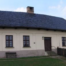
Evangelical school
194 m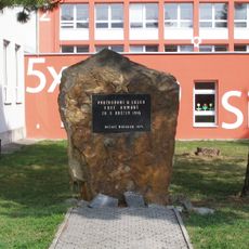
Pomník Rudé armádě
2.7 km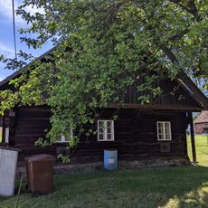
Družstevní čp. 89
2.9 km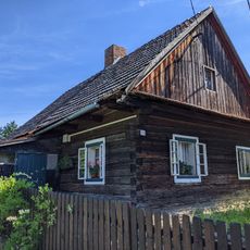
Družstevní čp. 226
2.9 km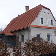
Venkovský dům Pilečkův dům
127 m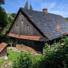
Dolní 95
2.9 km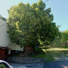
Old lime tree in Kojetín
4 km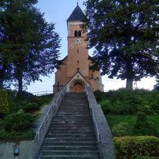
Church of Saint John the Baptist
2.8 km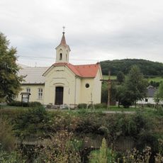
Chapel of Saint Michael
4.2 km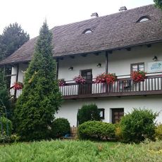
Fojtství
79 m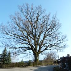
Dub v Jasenici
4.5 km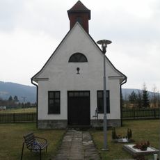
Kaple na evangelickém hřbitově v Mořkově
2.5 km
Evangelical church
2.7 kmReviews
Visited this place? Tap the stars to rate it and share your experience / photos with the community! Try now! You can cancel it anytime.
Discover hidden gems everywhere you go!
From secret cafés to breathtaking viewpoints, skip the crowded tourist spots and find places that match your style. Our app makes it easy with voice search, smart filtering, route optimization, and insider tips from travelers worldwide. Download now for the complete mobile experience.

A unique approach to discovering new places❞
— Le Figaro
All the places worth exploring❞
— France Info
A tailor-made excursion in just a few clicks❞
— 20 Minutes