
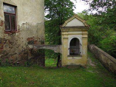
Part of former pilgrim trail to Kájov
Part of former pilgrim trail to Kájov, kulturní památka České republiky na území obce Kájov (část od mostu ke kostelu)
Location: Kájov
Part of: Former pilgrim trail to Kájov
GPS coordinates: 48.80869,14.26039
Latest update: April 3, 2025 09:08
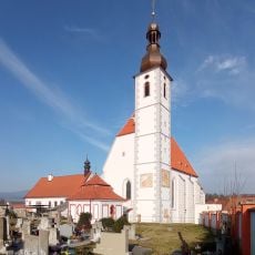
Church of the Assumption
109 m
Water mill
2.1 km
Kalamandra
2 km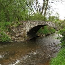
Stone road bridge
90 m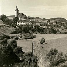
Boží muka Růžencové cesty u Polečnice
212 m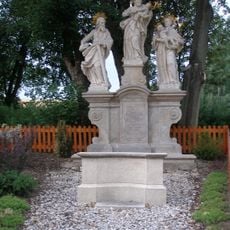
Sculpture of Saint Joseph, Saint Jude Thaddeus and Saint Anthony of Padua
237 m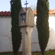
Column shrine
128 m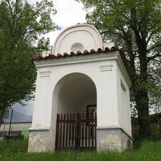
Kaple svaté Anny
630 m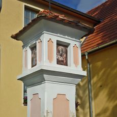
Brick column shrine
590 m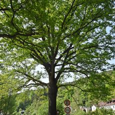
Dub ve Starých Dobrkovicích
2.1 km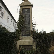
World War I memorial
114 m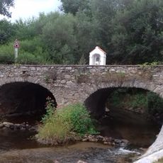
Most přes Polečnici v Novosedlech
1.4 km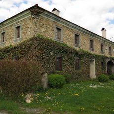
Usedlost čp. 20
1.5 km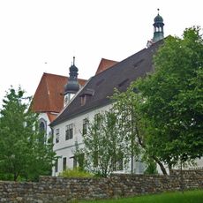
Rectory in Kájov
119 m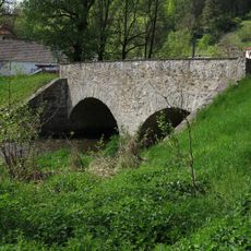
Most silnice III/1599 přes Polečnici u Dobrkovického mlýna
2.1 km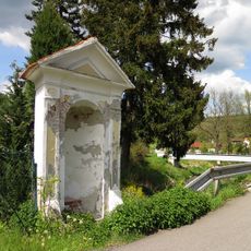
Výklenková kaplička svatého Jana Nepomuckého
2.3 km
Chapel of Corpus Christi
559 m
Chapel above the miraculous spring
71 m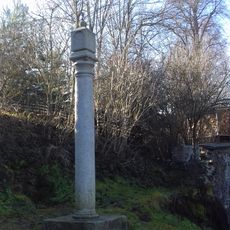
Column shrine, Rosary Path
43 m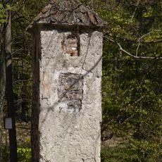
Column-shrine above Kladné
1.5 km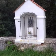
Chapel-shrine of Saint Florian on the bridge in Novosedly
1.4 km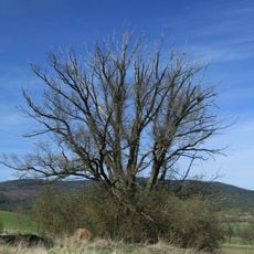
Křenovský dub
1.4 km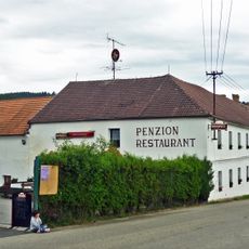
Usedlost čp. 3
1.3 km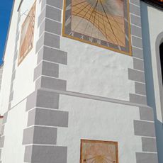
Sundial
125 m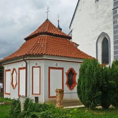
Hřbitovní kaple u kostela Nanebevzetí Panny Marie
136 m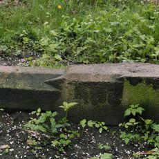
Boží muka Záhorkov-Kladné-Kájov
326 m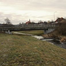
Lávka přes Polečnici v Kájově
423 m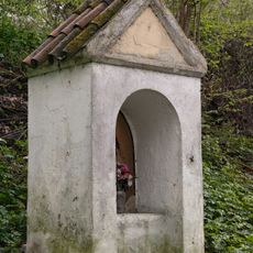
Kaplička pod Záhorkovem
469 mReviews
Visited this place? Tap the stars to rate it and share your experience / photos with the community! Try now! You can cancel it anytime.
Discover hidden gems everywhere you go!
From secret cafés to breathtaking viewpoints, skip the crowded tourist spots and find places that match your style. Our app makes it easy with voice search, smart filtering, route optimization, and insider tips from travelers worldwide. Download now for the complete mobile experience.

A unique approach to discovering new places❞
— Le Figaro
All the places worth exploring❞
— France Info
A tailor-made excursion in just a few clicks❞
— 20 Minutes