
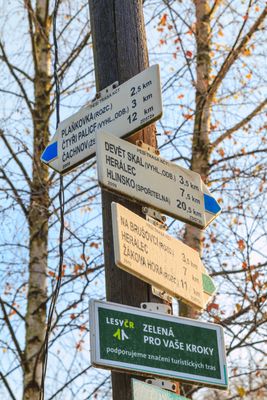
Rozcestník Moravské Křižánky, turistický rozcestník v okrese Žďár nad Sázavou
Location: Moravské Křižánky
Part of: Czech Hiking Markers System
GPS coordinates: 49.68881,16.06319
Latest update: March 4, 2025 20:53
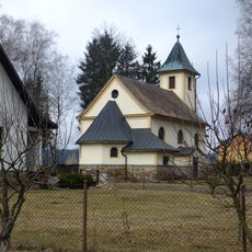
Church of Saint Mary of Help
486 m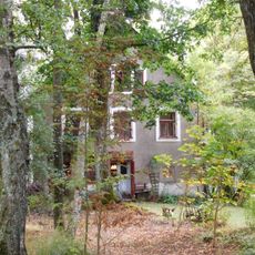
Kupcův mlýn
202 m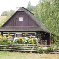
Venkovský dům
160 m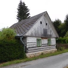
Venkovský dům
410 m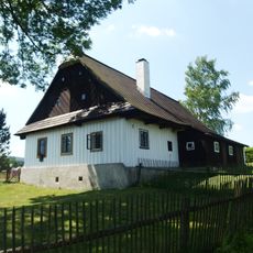
Venkovský dům
321 m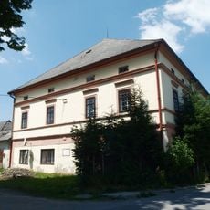
Venkovský dům Panský
289 m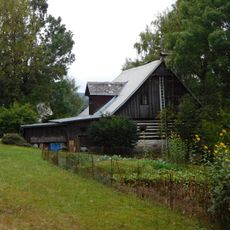
Venkovský dům
599 m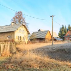
Venkovský dům
371 m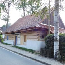
Forge
142 m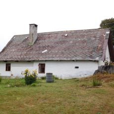
Venkovská usedlost
441 m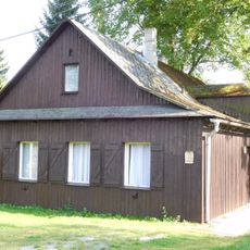
Venkovský dům
330 m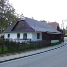
Venkovský dům
102 m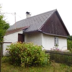
Pazderna bývalá
443 m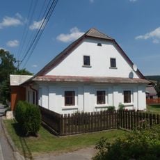
Venkovský dům
253 m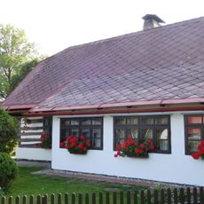
Venkovský dům
372 m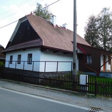
Venkovský dům
83 m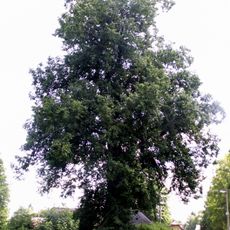
Lípa velkolistá v Křižánkách
395 m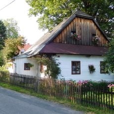
Venkovský dům
266 m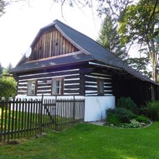
Venkovský dům
363 m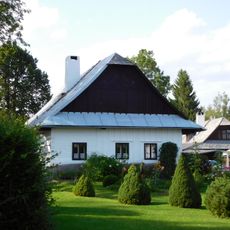
Venkovský dům
328 m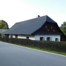
Venkovský dům
595 m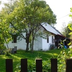
Venkovský dům
242 m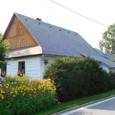
Venkovský dům
329 m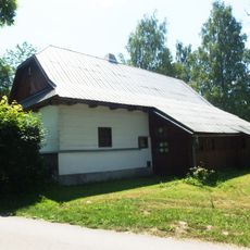
Moravské Křižánky, čp. 43
244 m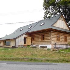
Venkovská usedlost
290 m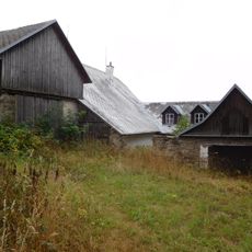
Venkovský dům
596 m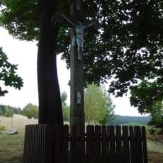
Wayside cross in České Křižánky
532 m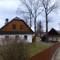
Venkovský dům, Moravské Křižánky č.p. 25
163 mVisited this place? Tap the stars to rate it and share your experience / photos with the community! Try now! You can cancel it anytime.
Discover hidden gems everywhere you go!
From secret cafés to breathtaking viewpoints, skip the crowded tourist spots and find places that match your style. Our app makes it easy with voice search, smart filtering, route optimization, and insider tips from travelers worldwide. Download now for the complete mobile experience.

A unique approach to discovering new places❞
— Le Figaro
All the places worth exploring❞
— France Info
A tailor-made excursion in just a few clicks❞
— 20 Minutes