
Town hall in Hlučín, Rathaus in Tschechien
Location: Hlučín
Architectural style: classicism
GPS coordinates: 49.89653,18.18766
Latest update: March 31, 2025 06:19

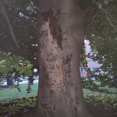
Buk v parčíku u polikliniky
321 m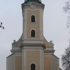
Church of Saint John the Baptist
132 m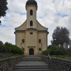
Church of Saint Margaret
332 m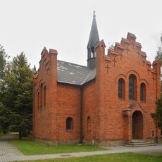
Evangelical church
258 m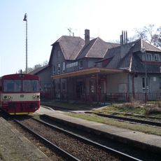
Hlučín
653 m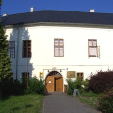
Muzeum Hlučínska
157 m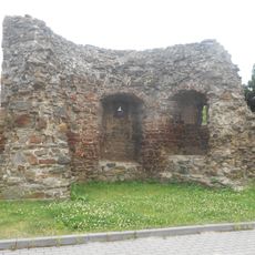
City walls of Hlučín
66 m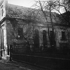
Synagogue in Hlučín
193 m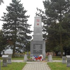
World War II cemetery in Hlučín
675 m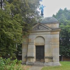
Tomb of Wetekamp family
281 m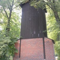
Firehouse with dryer hose
236 m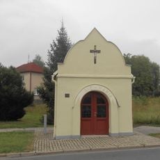
Chapel of Virgin Mary
440 m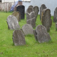
Jewish cemetery in Hlučín
682 m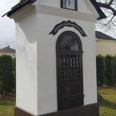
Kaplička pod Vinnou horou
913 m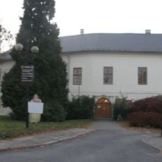
Chateau Hlučín
163 m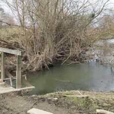
Lávka přes Vařešinku přes ústím do Opavy
1.8 km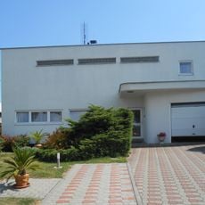
Kremerova vila
435 m
Fara
130 m
Městský dům čp. 174
172 m
Rodinný dům čp. 587
575 m
Městský dům Mírové náměstí č.p. 25/24
25 m
Památník Rudé armády v Hlučíně
675 m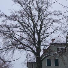
Buk u městského parku
398 m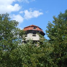
Water tower
587 m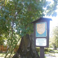
Javor u Domu dětí a mládeže v Hlučíně
171 m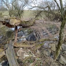
23/I./B telephone line chamber
1.8 km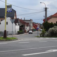
Kříž v Hlučíně v ulici Dlouhoveská
257 m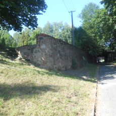
Most Ostravské ulice přes Promenádní ulici
219 mReviews
Visited this place? Tap the stars to rate it and share your experience / photos with the community! Try now! You can cancel it anytime.
Discover hidden gems everywhere you go!
From secret cafés to breathtaking viewpoints, skip the crowded tourist spots and find places that match your style. Our app makes it easy with voice search, smart filtering, route optimization, and insider tips from travelers worldwide. Download now for the complete mobile experience.

A unique approach to discovering new places❞
— Le Figaro
All the places worth exploring❞
— France Info
A tailor-made excursion in just a few clicks❞
— 20 Minutes