
Plaque of World War I and II victims, pamětní deska v Náměšti nad Oslavou
Location: Náměšť nad Oslavou
Inception: August 26, 1934
GPS coordinates: 49.20760,16.15761
Latest update: April 4, 2025 14:42

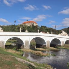
Baroque bridge in Náměšť nad Oslavou
136 m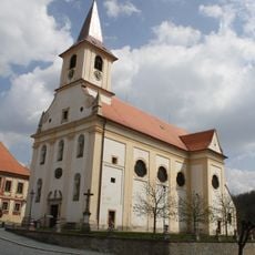
Church of Saint John the Baptist
72 m
Městské muzeum v Náměšti nad Oslavou
81 m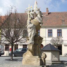
Sousoší Nejsvětější Trojice
27 m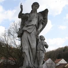
Socha archanděla Rafaela
99 m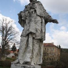
Socha sv. Jana Nepomuckého
131 m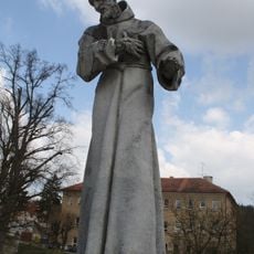
Socha sv. Františka z Assisi
123 m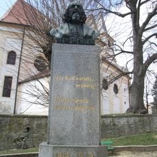
Busta Jana Amose Komenského
99 m
Socha sv. Jáchyma
150 m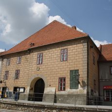
Radnice
78 m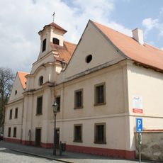
Chapel of Saint Anne
121 m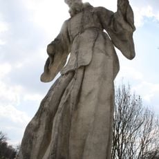
Socha sv. Františka z Pauly
116 m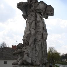
Socha sv. Terezie
142 m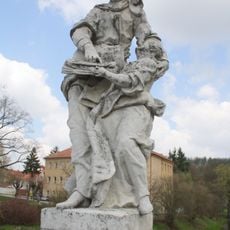
Socha sv. Anny s Marií
141 m
Socha sv. Petra
125 m
Socha sv. Kajetána
110 m
Socha sv. Ondřeje
158 m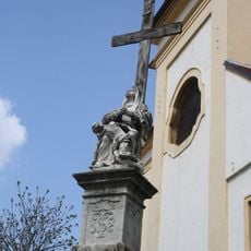
Kříž s Madonou a dítětem v Náměšti nad Oslavou
89 m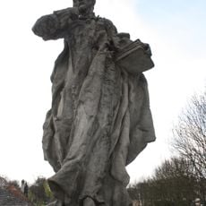
Socha sv. Filipa z Neri
133 m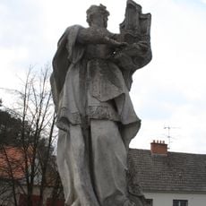
Socha sv. Cecilie
151 m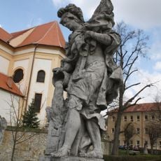
Socha sv. Floriana
100 m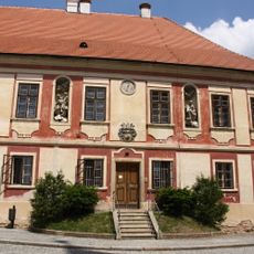
Parish house (Náměšť nad Oslavou)
49 m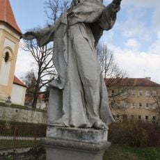
Socha sv. Pavla
114 m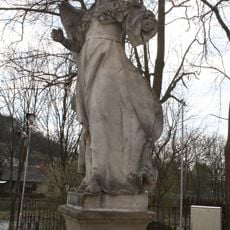
Socha archanděla Gabriela
103 m
Plaque of František Veselý
112 m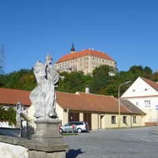
Městská památková zóna Náměšť nad Oslavou
21 m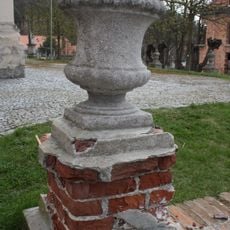
Ohradní zeď s vázami u kostela sv. Jana Křitele v Náměšti nad Oslavou
59 m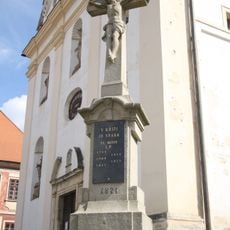
Wayside cross near church of Saint John the Baptist
50 mReviews
Visited this place? Tap the stars to rate it and share your experience / photos with the community! Try now! You can cancel it anytime.
Discover hidden gems everywhere you go!
From secret cafés to breathtaking viewpoints, skip the crowded tourist spots and find places that match your style. Our app makes it easy with voice search, smart filtering, route optimization, and insider tips from travelers worldwide. Download now for the complete mobile experience.

A unique approach to discovering new places❞
— Le Figaro
All the places worth exploring❞
— France Info
A tailor-made excursion in just a few clicks❞
— 20 Minutes