
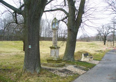
Švédský sloup, boží muka ve Starém Jiříkově v okrese Děčín, Mánesova, severozápadní okraj obce, pp. 1071/5
Location: Starý Jiříkov
Inception: 1704
Made from material: sandstone
GPS coordinates: 51.00517,14.56131
Latest update: March 7, 2025 21:04
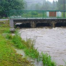
Most přes Jiříkovský potok ve Starém Jiříkově u čp. 72
161 m
Marktstraße 32
902 m
Spreedorfer Straße 1
1.1 km
Georgswalder Straße 36
858 m
Bahnhofstraße 46
1.1 km
Schulstraße 24
1 km
Röntgenstraße 4
1.1 km
Georgswalder Straße 19
1.1 km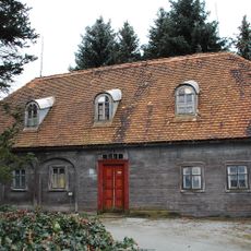
Marktstraße 17
1.1 km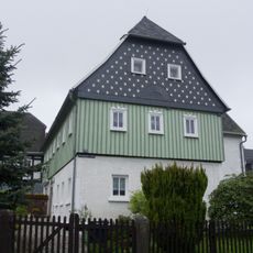
Georgswalder Straße 32
868 m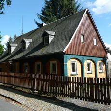
Georgswalder Straße 41
940 m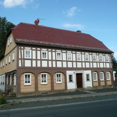
Bahnhofstraße 50
1.1 km
Haineweg 6
1 km
Marktstraße 15
1.1 km
Bahnhofstraße 61
1 km
Mittelstraße 24
909 m
Mittelstraße 16
1 km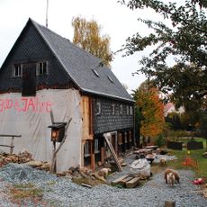
Mittelstraße 13
1.1 km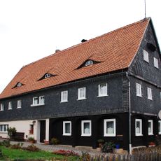
Georgswalder Straße 20
1.1 km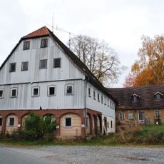
Mittelstraße 18
1 km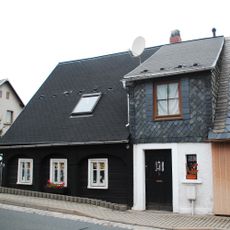
Marktstraße 20, 22
1 km
Friedersdorfer Straße 2
886 m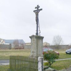
Kříž u domu Mánesova 25 v Jiříkově
620 m
Georgswalder Straße 44
942 m
Georgswalder Straße 28
939 m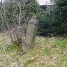
Kříž naproti domu Máchova 19 v Jiříkově
775 m
Schulstraße 20
1.1 km
Kříž na rozcestí poblíž domu Mánesova 1062/29 v Jiříkově
465 mReviews
Visited this place? Tap the stars to rate it and share your experience / photos with the community! Try now! You can cancel it anytime.
Discover hidden gems everywhere you go!
From secret cafés to breathtaking viewpoints, skip the crowded tourist spots and find places that match your style. Our app makes it easy with voice search, smart filtering, route optimization, and insider tips from travelers worldwide. Download now for the complete mobile experience.

A unique approach to discovering new places❞
— Le Figaro
All the places worth exploring❞
— France Info
A tailor-made excursion in just a few clicks❞
— 20 Minutes