
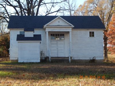
Cedar Grove School No. 81
Location: Randolph County
GPS coordinates: 36.33250,-90.95170
Latest update: September 23, 2025 14:47
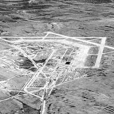
Marine Corps Air Facility Walnut Ridge
23.3 km
Davidsonville Historic State Park
21.7 km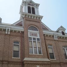
Powhatan Historic State Park
30.1 km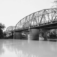
Black River Bridge
8.9 km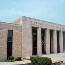
Randolph County Courthouse
8.2 km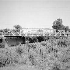
Cache River Bridge
31.5 km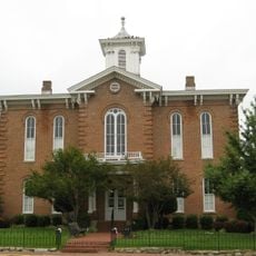
Old Randolph County Courthouse
8.2 km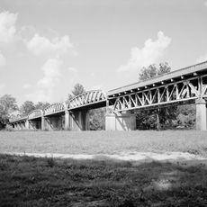
St. Louis-San Francisco Overpass
24.3 km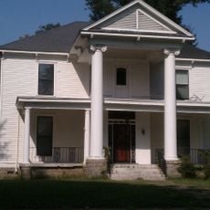
Sheeks House
33.9 km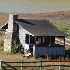
Hillyard Cabin
18.4 km
Ripley County Jail, Sheriff's Office and Sheriff's Residence
33.6 km
Randolph Columbus Barrett House
34.1 km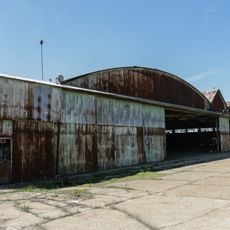
Building Number 29
22.9 km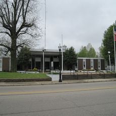
Lawrence County Courthouse
29.2 km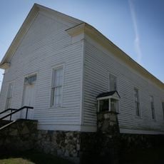
Powhatan Methodist Church
31.7 km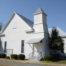
Holly Grove Presbyterian Church
18.7 km
Eddie Mae Herron Center & Museum
8.3 km
Rice-Upshaw House
17.8 km
Ripley County Courthouse
33.7 km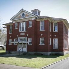
Portia School
29.6 km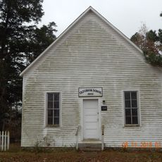
Old Union School
15.6 km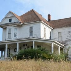
Dr. John Octavius Hatcher House
24.6 km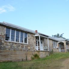
Ravenden Springs School
24.5 km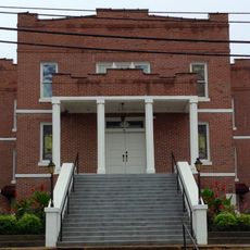
Imboden Methodist Episcopal Church, South
24.5 km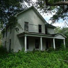
Baynham House
24.3 km
Yadkin Church
26.9 km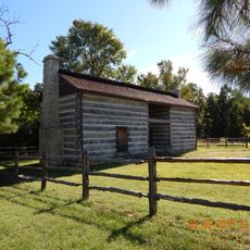
Looney-French House
16.9 km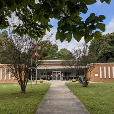
Clay County Courthouse, Western District
33.9 kmReviews
Visited this place? Tap the stars to rate it and share your experience / photos with the community! Try now! You can cancel it anytime.
Discover hidden gems everywhere you go!
From secret cafés to breathtaking viewpoints, skip the crowded tourist spots and find places that match your style. Our app makes it easy with voice search, smart filtering, route optimization, and insider tips from travelers worldwide. Download now for the complete mobile experience.

A unique approach to discovering new places❞
— Le Figaro
All the places worth exploring❞
— France Info
A tailor-made excursion in just a few clicks❞
— 20 Minutes