
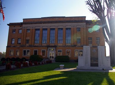
McDowell County Courthouse, courthouse in North Carolina, United States
Location: Marion
Inception: 1923
GPS coordinates: 35.68390,-82.00890
Latest update: September 23, 2025 15:10
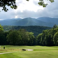
Mount Mitchell
24.9 km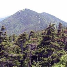
Mount Craig
25.1 km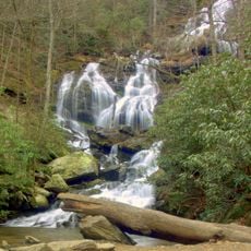
Catawba Falls
23.2 km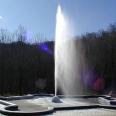
Andrews Geyser
21.4 km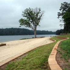
Lake James State Park
12.2 km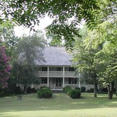
Carson House
4.5 km
Toms Creek Falls
11.5 km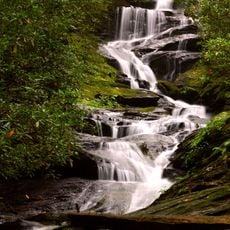
Roaring Fork Falls
19 km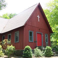
Church of the Resurrection
20 km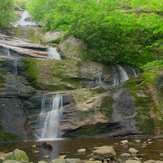
Setrock Creek Falls
21.1 km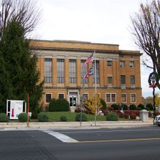
Main Street Historic District (Marion, North Carolina)
91 m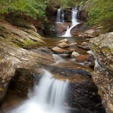
Whiteoak Creek Falls
24.8 km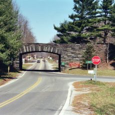
Gillespie Gap
19.2 km
First Presbyterian Church
352 m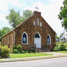
St. Matthew's Lutheran Church
407 m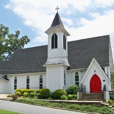
St. John's Episcopal Church
470 m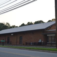
Depot Historic District
348 m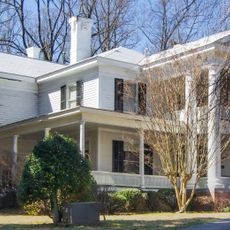
Lone Beech
410 m
Welsford Parker Artz House
16.5 km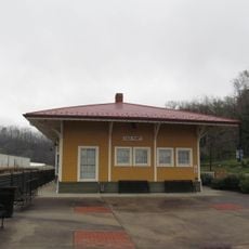
Old Fort Commercial Historic District
16.7 km
Carson–Young House
4.8 km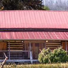
Albertus Ledbetter House
18.7 km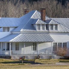
Henry Seawell Brown and Mary Jane English Farmstead
20.9 km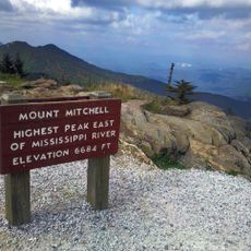
Mount Mitchell State Park
24.9 km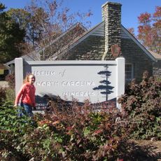
Museum of North Carolina Minerals
19.7 km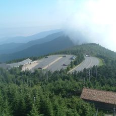
Mount Mitchell Museum
25 km
Mountain Paradise
22.1 km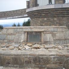
Elisha Mitchell's tomb
24.8 kmReviews
Visited this place? Tap the stars to rate it and share your experience / photos with the community! Try now! You can cancel it anytime.
Discover hidden gems everywhere you go!
From secret cafés to breathtaking viewpoints, skip the crowded tourist spots and find places that match your style. Our app makes it easy with voice search, smart filtering, route optimization, and insider tips from travelers worldwide. Download now for the complete mobile experience.

A unique approach to discovering new places❞
— Le Figaro
All the places worth exploring❞
— France Info
A tailor-made excursion in just a few clicks❞
— 20 Minutes