
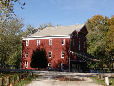
Adams Mill, United States historic place
Location: Democrat Township
GPS coordinates: 40.48056,-86.50806
Latest update: September 23, 2025 14:26

Wabash and Erie Canal
19.1 km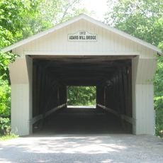
Adams Mill Covered Bridge
457 m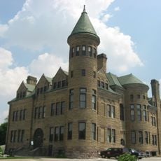
Old Frankfort Stone High School
22.3 km
Andrew Thomas House
14.5 km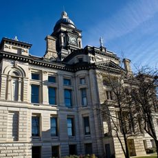
Clinton County Courthouse
22.2 km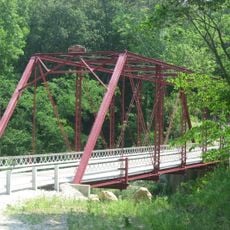
Wilson Bridge
15.6 km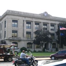
Carroll County Courthouse
18.4 km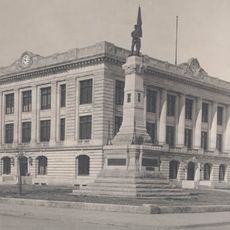
Soldiers and Sailors Monument
18.3 km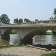
Carrollton Bridge
22.5 km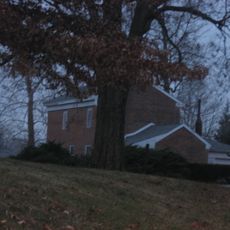
Hershey House
22.2 km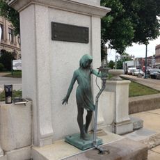
Murphy Memorial Drinking Fountain
18.4 km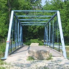
Pulaski County Bridge No. 31
18.7 km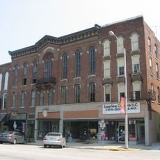
Delphi Courthouse Square Historic District
18.4 km
Christian Ridge Historic District
22.5 km
Delphi City Hall
18.3 km
Foreman-Case House
18.1 km
Frankfort Commercial Historic District
22.1 km
Barnett-Seawright-Wilson House
18.4 km
Deer Creek Valley Rural Historic District
16.2 km
South Frankfort Historic District
22.7 km
Delphi Methodist Episcopal Church
18.4 km
Niewerth Building
18.2 km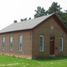
District School No. 3
19.7 km
John Young House
7.3 km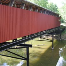
Lancaster Covered Bridge
9.3 km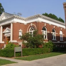
Delphi Public Library
18.2 km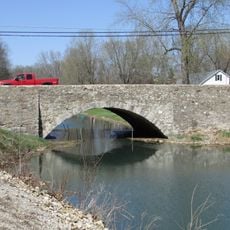
O'Connor Bridge
19.1 km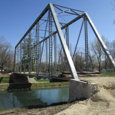
Gray Bridge
19.1 kmReviews
Visited this place? Tap the stars to rate it and share your experience / photos with the community! Try now! You can cancel it anytime.
Discover hidden gems everywhere you go!
From secret cafés to breathtaking viewpoints, skip the crowded tourist spots and find places that match your style. Our app makes it easy with voice search, smart filtering, route optimization, and insider tips from travelers worldwide. Download now for the complete mobile experience.

A unique approach to discovering new places❞
— Le Figaro
All the places worth exploring❞
— France Info
A tailor-made excursion in just a few clicks❞
— 20 Minutes