
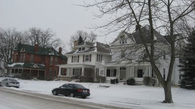
Christian Ridge Historic District
Christian Ridge Historic District, historic district in Indiana, United States
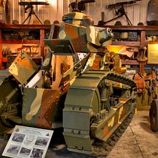
Ropkey Armor Museum
34.8 km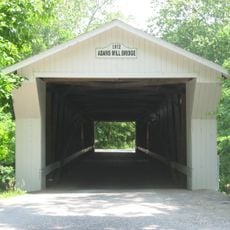
Adams Mill Covered Bridge
22.8 km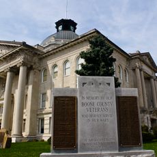
Boone County Courthouse
25.9 km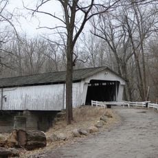
Darlington Covered Bridge
31 km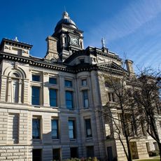
Clinton County Courthouse
528 m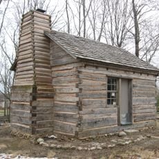
George Boxley Cabin
28.8 km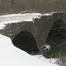
Scotland Bridge
13 km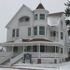
Strange Nathanial Cragun House
25.9 km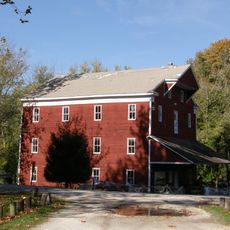
Adams Mill
22.5 km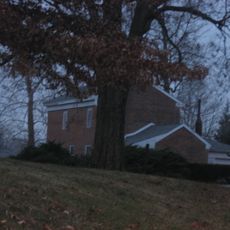
Hershey House
28.8 km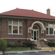
Thorntown Public Library
18.6 km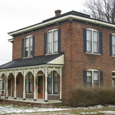
Davenport-Bradfield House
29 km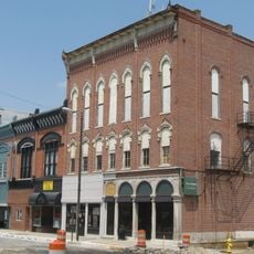
Frankfort Commercial Historic District
601 m
Ulen Historic District
24.2 km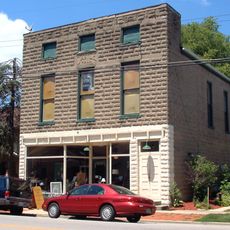
Dayton Historic District
24.7 km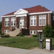
Kirklin Public Library
15.6 km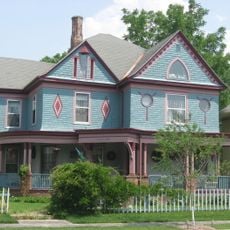
Charles H. and Emma Condon House
470 m
Ely Homestead
33.1 km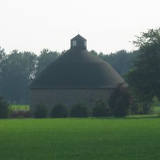
Andrew B. VanHuys Round Barn
28.7 km
South Frankfort Historic District
512 m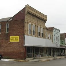
Sheridan Downtown Commercial Historic District
28.9 km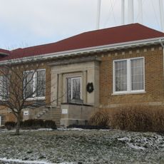
Colfax Carnegie Library
16.6 km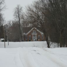
Henry W. Smith House
32.4 km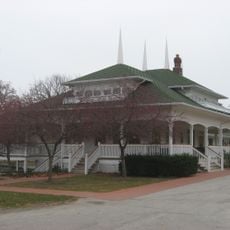
Scott Street Pavilion
34.6 km
John Young House
17 km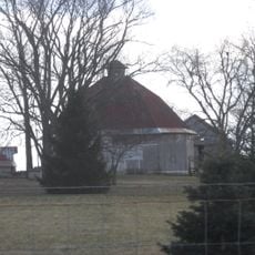
William Fisher Polygonal Barn
24.4 km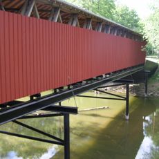
Lancaster Covered Bridge
23.1 km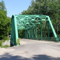
Wildcat Creek Bridge
22.7 kmReviews
Visited this place? Tap the stars to rate it and share your experience / photos with the community! Try now! You can cancel it anytime.
Discover hidden gems everywhere you go!
From secret cafés to breathtaking viewpoints, skip the crowded tourist spots and find places that match your style. Our app makes it easy with voice search, smart filtering, route optimization, and insider tips from travelers worldwide. Download now for the complete mobile experience.

A unique approach to discovering new places❞
— Le Figaro
All the places worth exploring❞
— France Info
A tailor-made excursion in just a few clicks❞
— 20 Minutes