
Thomas–Wiley–Johnson Farmstead
Thomas–Wiley–Johnson Farmstead
Location: Pittstown
Inception: 1790s
Architectural style: Federal architecture
Address: 703 Johnsonville Road
GPS coordinates: 42.87194,-73.44083
Latest update: September 27, 2025 15:23
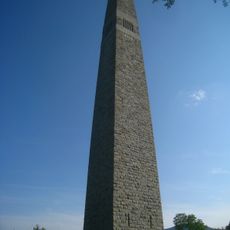
Bennington Battle Monument
18.5 km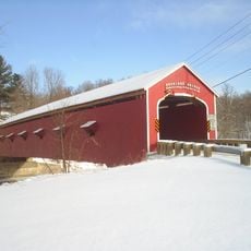
Buskirk Bridge
9.6 km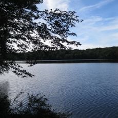
Grafton Lakes State Park
11.5 km
Bennington Battlefield State Historic Site
13.5 km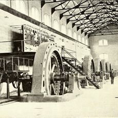
Mechanicville Hydroelectric Plant
19.5 km
Catamount Tavern
18.6 km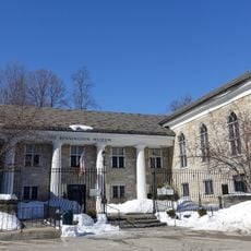
Bennington Historical Museum
18.9 km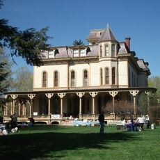
Park-McCullough Historic House
17 km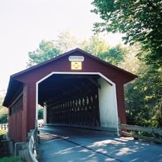
Silk Covered Bridge
18 km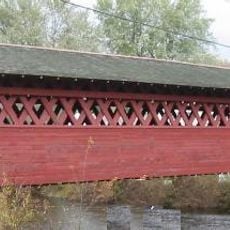
Burt Henry Covered Bridge
15.8 km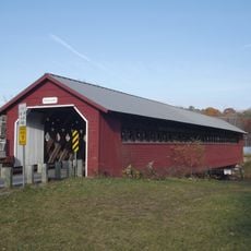
Paper Mill Village Bridge
17.5 km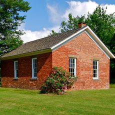
Little Red Schoolhouse
17.3 km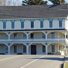
Delaney Hotel
10.2 km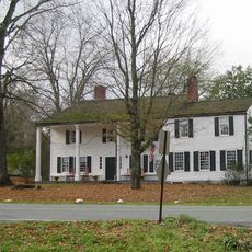
Henry House
15.6 km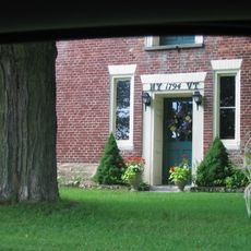
David Mathews House
15.6 km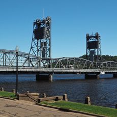
Stillwater Bridge
18.6 km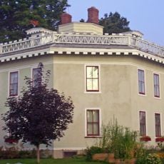
Estabrook Octagon House
7.7 km
Hoosick Falls Historic District
8 km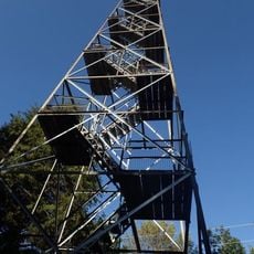
Dickinson Hill Fire Tower
9 km
Tibbits House
8.1 km
Cambridge Historic District
17.9 km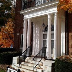
McCullough Free Library
17.2 km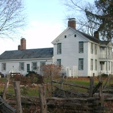
White Creek Historic District
16.6 km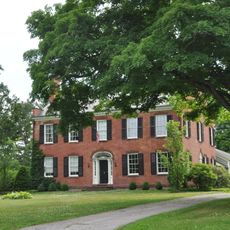
Breese-Reynolds House
9.6 km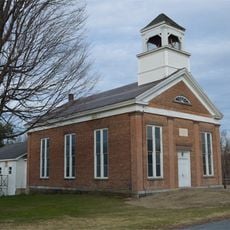
Tomhannock Methodist Episcopal Church
9.2 km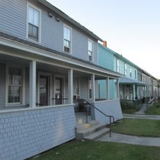
Holden-Leonard Workers Housing Historic District
19.5 km
Stillwater Blockhouse
19 km
North Bennington Historic District
17.5 kmReviews
Visited this place? Tap the stars to rate it and share your experience / photos with the community! Try now! You can cancel it anytime.
Discover hidden gems everywhere you go!
From secret cafés to breathtaking viewpoints, skip the crowded tourist spots and find places that match your style. Our app makes it easy with voice search, smart filtering, route optimization, and insider tips from travelers worldwide. Download now for the complete mobile experience.

A unique approach to discovering new places❞
— Le Figaro
All the places worth exploring❞
— France Info
A tailor-made excursion in just a few clicks❞
— 20 Minutes