
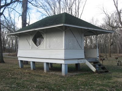
Monterey Bandstand
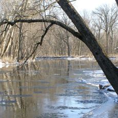
Tippecanoe River State Park
9.5 km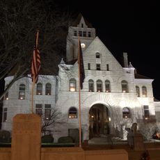
Fulton County Courthouse
24.6 km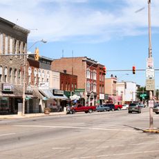
Rochester Downtown Historic District
23.5 km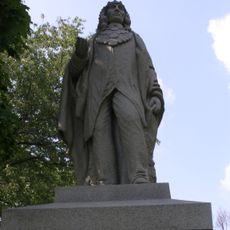
Chief Menominee Memorial Site
18.1 km
Plymouth Downtown Historic District
24.7 km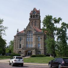
Starke County Courthouse
19.5 km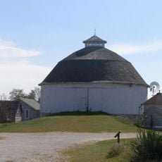
Bert Leedy Round Barn
20.9 km
Argos Downtown Historic District
21.5 km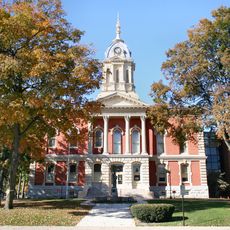
Marshall County Courthouse
24.9 km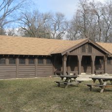
Tepicon Hall
9.6 km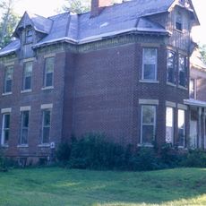
Hoham-Klinghammer-Weckerle House and Brewery Site
23.3 km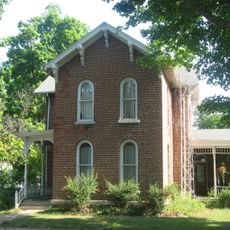
John W. Smith House
24.3 km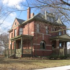
Dr. George W. Thompson House
15.8 km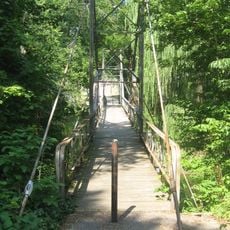
East Laporte Street Footbridge
24.9 km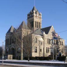
Pulaski County Courthouse
15.9 km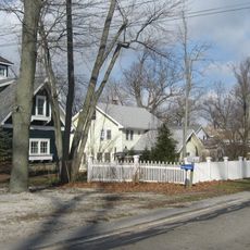
East Shore Historic District
8.9 km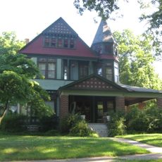
Lyman M. Brackett House
24.3 km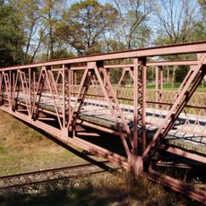
Starke County Bridge No. 39
19.7 km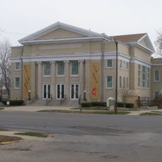
Plymouth Northside Historic District
25 km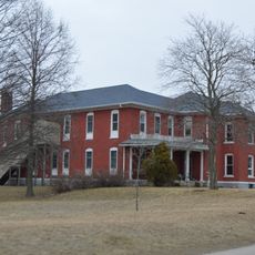
Pulaski County Home
17 km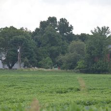
Norris Farm-Maxinkuckee Orchard
11 km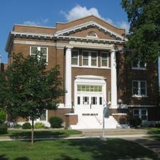
Plymouth Southside Historic District
25 km
Jacoby Church
24.8 km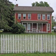
Lewis and Sarah Boggs House
23.7 km
Forest Place Historic District
8.6 km
Woodbank
8.1 km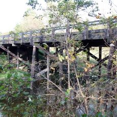
Starke County Bridge 700E
16 km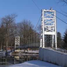
Memorial Bridge
15.5 kmVisited this place? Tap the stars to rate it and share your experience / photos with the community! Try now! You can cancel it anytime.
Discover hidden gems everywhere you go!
From secret cafés to breathtaking viewpoints, skip the crowded tourist spots and find places that match your style. Our app makes it easy with voice search, smart filtering, route optimization, and insider tips from travelers worldwide. Download now for the complete mobile experience.

A unique approach to discovering new places❞
— Le Figaro
All the places worth exploring❞
— France Info
A tailor-made excursion in just a few clicks❞
— 20 Minutes