
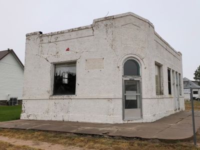
Farmers State Bank of Cope
Farmers State Bank of Cope, bank building in Washington County, Colorado
Location: Washington County
Inception: 1918
Address: 45450 Washington Avenue
GPS coordinates: 39.66360,-102.85103
Latest update: September 23, 2025 14:46
Mount Sunflower
100.1 km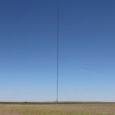
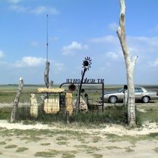
Hoyt Radio Tower
100.1 km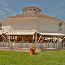
Elitch Gardens Carousel
63.6 km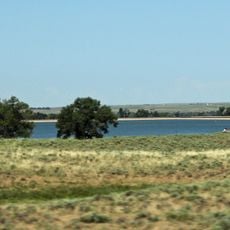
Prewitt Reservoir
95 km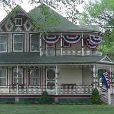
Mary Seaman Ennis House
103.9 km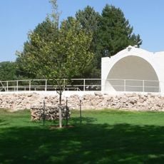
Howard T. Sawhill City Park
91 km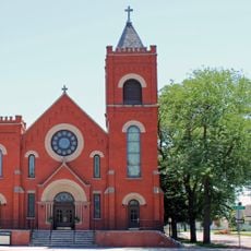
St. Anthony's Roman Catholic Church
110.8 km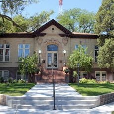
Sterling Public Library
111.1 km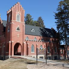
All Saints Church of Eben Ezer
94.3 km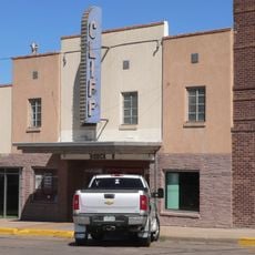
Cliff Theater
70.8 km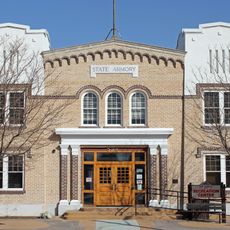
Fort Morgan State Armory
104.2 km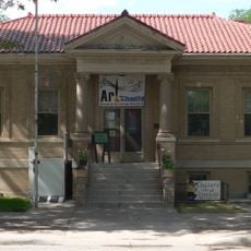
Goodland City Library
103.9 km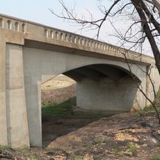
West Plum Bush Creek Bridge
65.6 km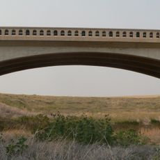
Plum Bush Creek Bridge
60.1 km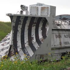
Rock Island Snow Plow No. 95580
84.7 km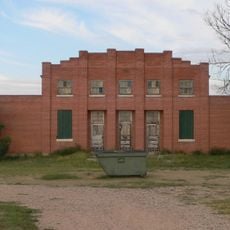
Ruleton School
90.2 km
German Evangelical Immanuel Congregational Church
93.3 km
First National Bank of Haxtun
110.5 km
Logan County Courthouse
111.1 km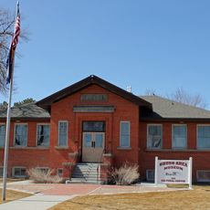
Knearl School
92.8 km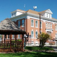
Cheyenne County Courthouse
103.3 km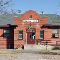
Lincoln School
104.6 km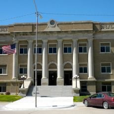
Cheyenne County Courthouse
90.9 km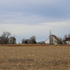
Millage Farm Rural Historic District
109.6 km
Old Town Museum
64.7 km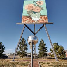
World's Largest Easel
104.9 km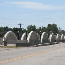
Rainbow Arch Bridge
105.4 km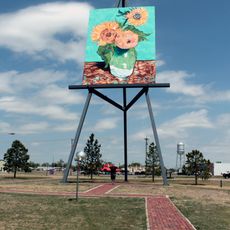
Giant van Gogh Painting
104.9 kmReviews
Visited this place? Tap the stars to rate it and share your experience / photos with the community! Try now! You can cancel it anytime.
Discover hidden gems everywhere you go!
From secret cafés to breathtaking viewpoints, skip the crowded tourist spots and find places that match your style. Our app makes it easy with voice search, smart filtering, route optimization, and insider tips from travelers worldwide. Download now for the complete mobile experience.

A unique approach to discovering new places❞
— Le Figaro
All the places worth exploring❞
— France Info
A tailor-made excursion in just a few clicks❞
— 20 Minutes