
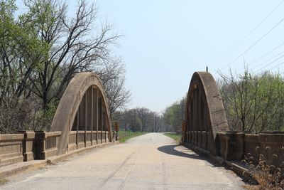
Mine Creek Bridge, bridge in United States of America
Location: Linn County
Inception: 1927
Architects: James Barney Marsh
GPS coordinates: 38.14139,-94.69500
Latest update: September 23, 2025 16:46

Hillsdale Lake
60 km
Fort Scott National Cemetery
33.1 km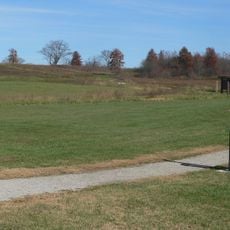
Osage Village State Historic Site
46.1 km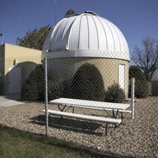
Powell Observatory
56.2 km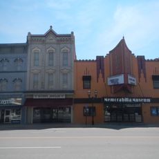
The Plaza Grill and Cinema
60.7 km
Crawford State Park
57.1 km
Fort Carondelet
44 km
Marais des Cygnes National Wildlife Refuge
10.1 km
Sennett and Bertha Kirk House
50.4 km
Anderson County Courthouse
49.3 km
Northrup House
66.4 km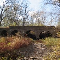
Landers Creek Bridge
30.2 km
Vernon County Courthouse
44.9 km
Jackson Hotel
50.7 km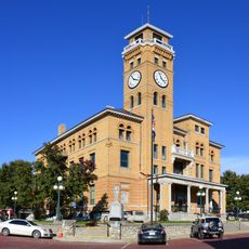
Harrisonville Courthouse Square Historic District
64.6 km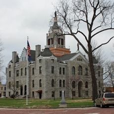
Bates County Courthouse
32.4 km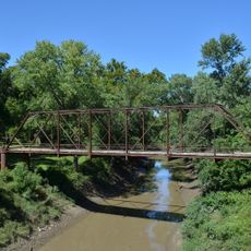
Papinville Marais des Cygnes River Bridge
41.4 km
First Presbyterian Church
33.9 km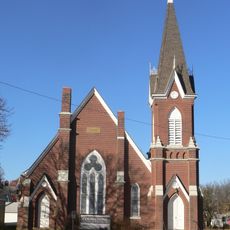
First Congregational Church
34.1 km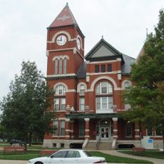
Miami County Courthouse
50.4 km
Linn County Courthouse
10.1 km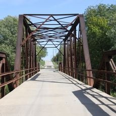
Carey’s Ford Bridge
51.6 km
Long Shoals Bridge
17.5 km
John Brown Museum State Historic Site
46 km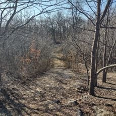
Marais des Cygnes Massacre Site
16.9 km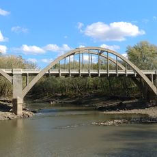
Creamery Bridge
46.2 km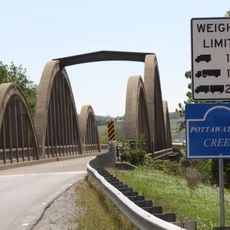
Pottawatomie Creek Bridge
44.3 km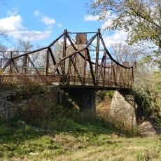
Asylum Bridge
45.9 kmReviews
Visited this place? Tap the stars to rate it and share your experience / photos with the community! Try now! You can cancel it anytime.
Discover hidden gems everywhere you go!
From secret cafés to breathtaking viewpoints, skip the crowded tourist spots and find places that match your style. Our app makes it easy with voice search, smart filtering, route optimization, and insider tips from travelers worldwide. Download now for the complete mobile experience.

A unique approach to discovering new places❞
— Le Figaro
All the places worth exploring❞
— France Info
A tailor-made excursion in just a few clicks❞
— 20 Minutes