
Cedar Bluff, cliff in Nowata County, Oklahoma, United States of America
Location: Nowata County
Elevation above the sea: 216 m
GPS coordinates: 36.75028,-95.64972
Latest update: March 16, 2025 07:20
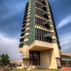
Price Tower
29.1 km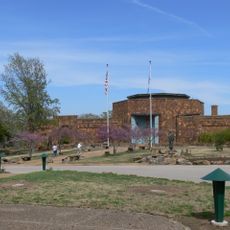
Woolaroc
42.2 km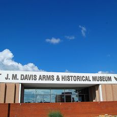
J. M. Davis Arms and Historical Museum
48.5 km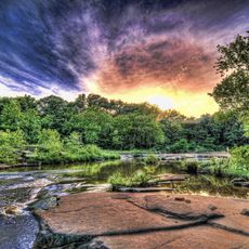
Osage Hills State Park
47.3 km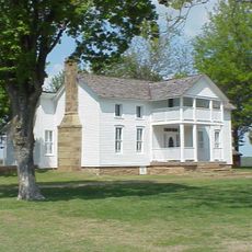
Dog Iron Ranch
31.3 km
Ed Galloway's Totem Pole Park
39.2 km
Hulah Lake
44.4 km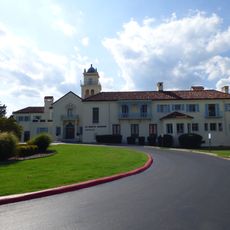
LaQuinta
27.8 km
Attucks School
46.5 km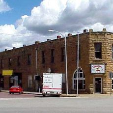
Bank of Bigheart
50.3 km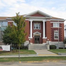
Independence Public Library
52.8 km
First Methodist Episcopal Church, South
45.6 km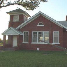
Diamond Point School
11.6 km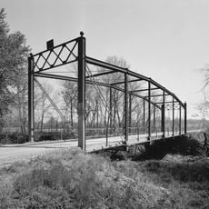
Onion Creek Bridge (Coffeyville, Kansas)
30.7 km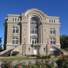
Old Washington County Courthouse
28.7 km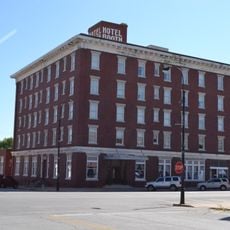
Booth Hotel
52.9 km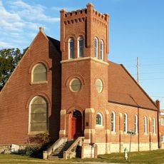
Bethel African Methodist Episcopal Church
31.5 km
Ed Galloway's Totem Pole Park
39.2 km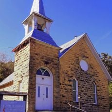
Niotaze Methodist Episcopal Church
48.2 km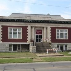
Coffeyville Carnegie Public Library Building
31.9 km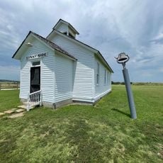
Little House On The Prairie Museum
44.9 km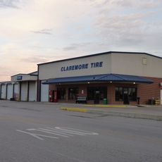
Claremore Auto Dealership
48.8 km
Red Apple Bowling Center
25.4 km
Claremore Lake Splash Pad
47.2 km
Claremore Museum of History
49 km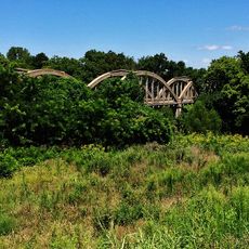
Dewlen-Spohnhauer Bridge
52.8 km
Eastern Trails Museum
45.7 km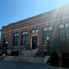
Independence Historical Museum & Art Center
53 kmReviews
Visited this place? Tap the stars to rate it and share your experience / photos with the community! Try now! You can cancel it anytime.
Discover hidden gems everywhere you go!
From secret cafés to breathtaking viewpoints, skip the crowded tourist spots and find places that match your style. Our app makes it easy with voice search, smart filtering, route optimization, and insider tips from travelers worldwide. Download now for the complete mobile experience.

A unique approach to discovering new places❞
— Le Figaro
All the places worth exploring❞
— France Info
A tailor-made excursion in just a few clicks❞
— 20 Minutes