
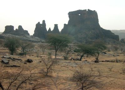
Hodh El Gharbi Region, region of Mauritania
Location: Mauritania
Capital city: Ayoun el Atrous
Elevation above the sea: 244 m
GPS coordinates: 16.50000,-10.00000
Latest update: March 4, 2025 12:31
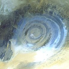
Richat Structure
535.5 km
Chinguetti
505.9 km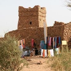
Ouadane
522.2 km
Niokolo-Koba National Park
508.3 km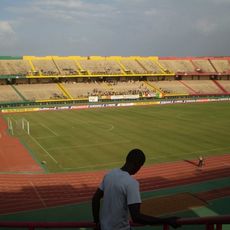
Stade du 26 Mars
488 km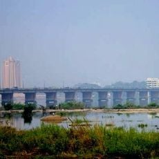
Martyrs Bridge
482.1 km
Chinguetti Mosque
507 km
Aoukar Depression
175.2 km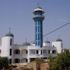
Bamako Grand Mosque
480.3 km
Grand Marché
480.4 km
King Fahd Bridge
482.1 km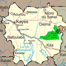
Boucle du Baoulé National Park
294.5 km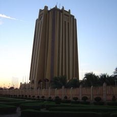
BCEAO Tower
481.5 km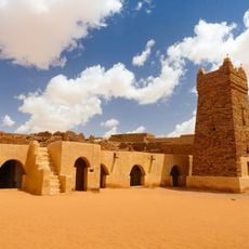
Ancient Ksour of Ouadane, Chinguetti, Tichitt and Oualata
521.9 km
Terjit
530.8 km
Palais de la Culture Amadou Hampaté Ba
482.7 km
Gouina Falls
300.9 km
Bassari Country
532.1 km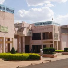
National Library of Mali
480.7 km
Dindefelo Falls
524.1 km
Félou Falls
278.9 km
Zoo Bamako
478.2 km
Mine de Siguiri
554.5 km
Lake Manantali
373.9 km
Museum of Ouadane
522.2 km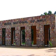
Museo Nacional
478.9 km
Talari Gorges
319.8 km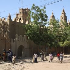
Great Mosque of Niono
497 kmReviews
Visited this place? Tap the stars to rate it and share your experience / photos with the community! Try now! You can cancel it anytime.
Discover hidden gems everywhere you go!
From secret cafés to breathtaking viewpoints, skip the crowded tourist spots and find places that match your style. Our app makes it easy with voice search, smart filtering, route optimization, and insider tips from travelers worldwide. Download now for the complete mobile experience.

A unique approach to discovering new places❞
— Le Figaro
All the places worth exploring❞
— France Info
A tailor-made excursion in just a few clicks❞
— 20 Minutes