
Qimmat Sarī Rashah, Berggipfel im Irak
Location: Nineveh Governorate
GPS coordinates: 36.93889,43.84528
Latest update: April 10, 2025 15:21
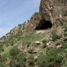
Shanidar Cave
38.6 km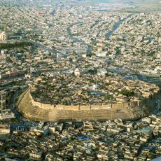
Citadel of Erbil
84.5 km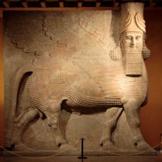
Dur-Sharrukin
72.9 km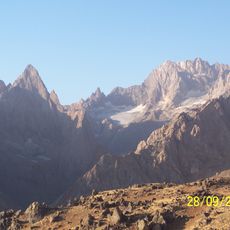
Cilo Dağı
62.5 km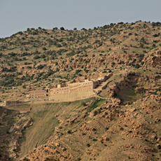
Mar Mattai monastery
61.5 km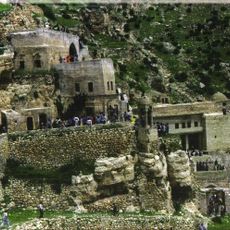
Rabban Hormizd Monastery
68.4 km
Tepe Gawra
73.5 km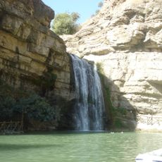
Geli Eli Beg Waterfall
63.5 km
Jerwan
50.2 km
Mudhafaria Minaret
84.8 km
Dohuk Dam
75.2 km
Uludoruk
62.5 km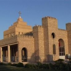
Saint Joseph Church
80.3 km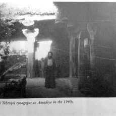
Tomb of the Prophet Hazkiel
44.2 km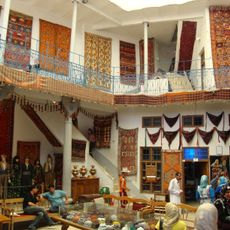
Kurdish Textile Museum
84.6 km
Mar Oraha Monastery
76.3 km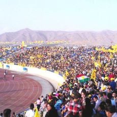
Duhok Stadium
76.2 km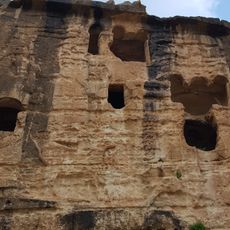
Khinnis Reliefs
42.4 km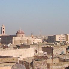
Al Tahira Church
85.3 km
Chaldean Catholic Archeparchy of Arbil
85.2 km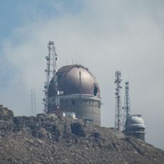
Erbil Observatory
67.9 km
Monastery of Saint John of Dailam
82.7 km
Great Mosque of Amadiya
36.1 km
Saint John the Baptist Cathedral, Ankawa
79.8 km
Mart Shmoni Church (Ankawa)
79.4 km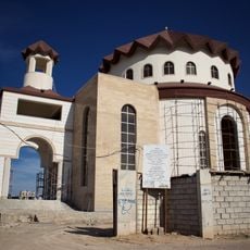
Kirche Heiligkreuz
77.7 km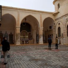
Chaldean Catholic cathedral of Saint George
70.3 km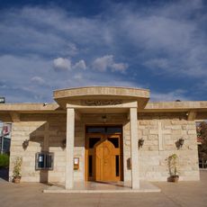
St. Elias
79.5 kmReviews
Visited this place? Tap the stars to rate it and share your experience / photos with the community! Try now! You can cancel it anytime.
Discover hidden gems everywhere you go!
From secret cafés to breathtaking viewpoints, skip the crowded tourist spots and find places that match your style. Our app makes it easy with voice search, smart filtering, route optimization, and insider tips from travelers worldwide. Download now for the complete mobile experience.

A unique approach to discovering new places❞
— Le Figaro
All the places worth exploring❞
— France Info
A tailor-made excursion in just a few clicks❞
— 20 Minutes