
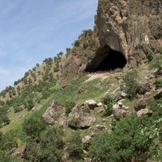
Zīnū-i Kurtak, قمة جبل في العراق
Location: Sulaymaniyah Governorate
GPS coordinates: 36.40194,44.98722
Latest update: April 28, 2025 17:53
Shanidar Cave
79.9 km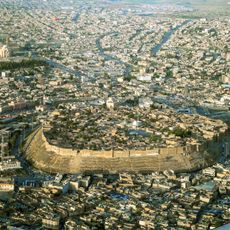
Citadel of Erbil
90.9 km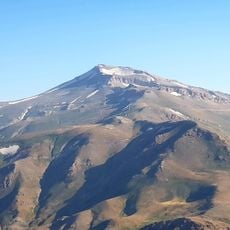
Cheekha Dar
42 km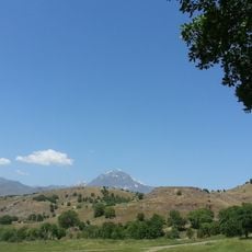
Hallgurd mountain
39.4 km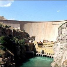
Dukan Dam
49.9 km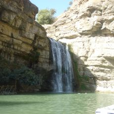
Geli Eli Beg Waterfall
54.8 km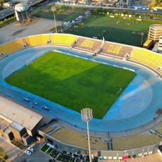
Franso Hariri Stadium
91.2 km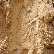
Rabana-Merquly
76.6 km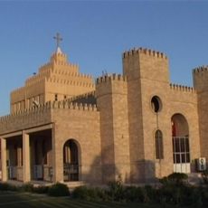
Saint Joseph Church
91.3 km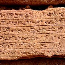
Rabat Tepe
54.6 km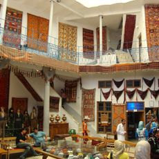
Kurdish Textile Museum
90.8 km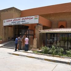
Erbil Civilization Museum
90.9 km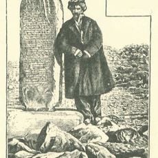
Kelashin Stele
55.7 km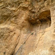
Qizkapan
65.9 km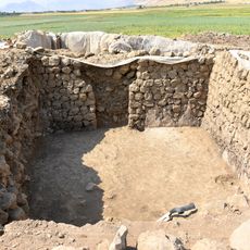
Qalatga Darband
21 km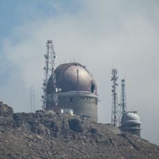
Erbil Observatory
51 km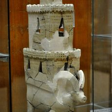
Tell Bazmusian
27.3 km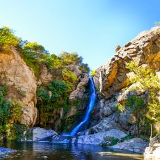
Shalmash Falls
56.7 km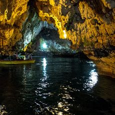
Saholan Cave
90.7 km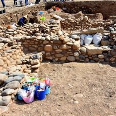
Qalat-i Dinka
32.3 km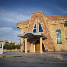
Saint John the Baptist Cathedral, Ankawa
91.1 km
Mart Shmoni Church (Ankawa)
91.5 km
Kirche Heiligkreuz
89.8 km
St. Elias
91 km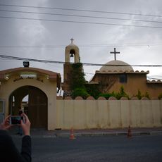
St.-Georg-Kirche
91.6 km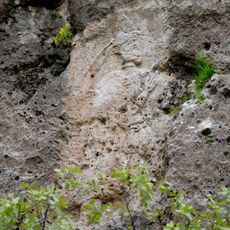
Rabana rock relief
74.3 km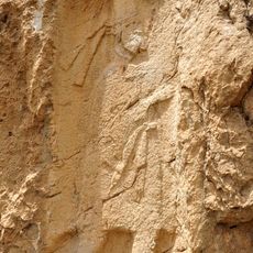
Qimmat Merquli
75.8 km
Harir rock-relief
59.9 kmReviews
Visited this place? Tap the stars to rate it and share your experience / photos with the community! Try now! You can cancel it anytime.
Discover hidden gems everywhere you go!
From secret cafés to breathtaking viewpoints, skip the crowded tourist spots and find places that match your style. Our app makes it easy with voice search, smart filtering, route optimization, and insider tips from travelers worldwide. Download now for the complete mobile experience.

A unique approach to discovering new places❞
— Le Figaro
All the places worth exploring❞
— France Info
A tailor-made excursion in just a few clicks❞
— 20 Minutes