
Sama, district of Tacna, Tacna, Peru
Location: Tacna
Capital city: Las Yaras
Elevation above the sea: 374 m
Shares border with: Ite, Inclán, Tacna
GPS coordinates: -17.86499,-70.56206
Latest update: May 1, 2025 03:46
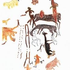
Toquepala Caves
64.6 km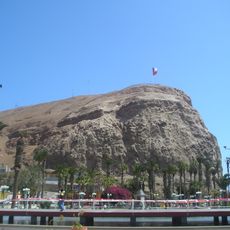
Morro de Arica
73 km
Parabolic Arch of Tacna
36.9 km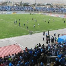
Estadio Carlos Dittborn
74.7 km
Caplina River
42.4 km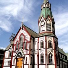
St. Mark's Cathedral
73 km
Miculla petroglyphs
49.3 km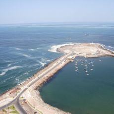
Península del Alacrán
72.7 km
Tacna Ornamental Fountain
36.9 km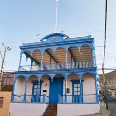
Casa Bolognesi
73.1 km
Estadio Jorge Basadre
36.2 km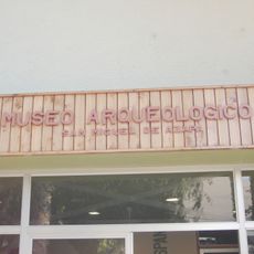
Museo Arqueológico San Miguel de Azapa
83 km
Playa Chinchorro
71.9 km
Mosque Bab ul Islam
36.6 km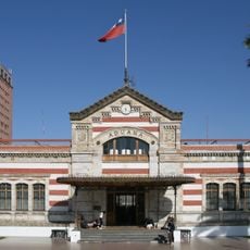
Arica House of Culture
72.8 km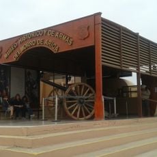
Museo Histórico y de Armas del Morro de Arica
72.9 km
Playa La Lisera
74.3 km
Municipal Theatre of Tacna
36.9 km
House Yanulaque
73.2 km
Tacna Prefecture
36.8 km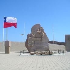
Monumento al soldado desconocido, Arica
73 km
Playa Las Machas
70.2 km
Iglesia de San Miguel
83.1 km
Phare Concordia
58.1 km
Phare de la péninsule du Scorpion
72.6 km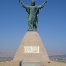
Cristo de la Concordia, Arica
72.9 km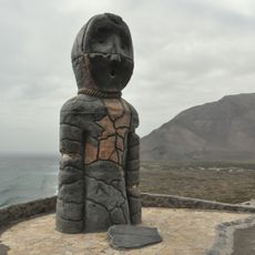
Settlement and Artificial Mummification of the Chinchorro Culture in the Arica and Parinacota Region
73.2 km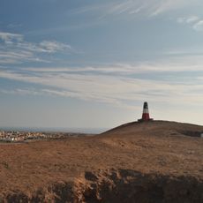
Fuerte Ciudadela
74.6 kmReviews
Visited this place? Tap the stars to rate it and share your experience / photos with the community! Try now! You can cancel it anytime.
Discover hidden gems everywhere you go!
From secret cafés to breathtaking viewpoints, skip the crowded tourist spots and find places that match your style. Our app makes it easy with voice search, smart filtering, route optimization, and insider tips from travelers worldwide. Download now for the complete mobile experience.

A unique approach to discovering new places❞
— Le Figaro
All the places worth exploring❞
— France Info
A tailor-made excursion in just a few clicks❞
— 20 Minutes