
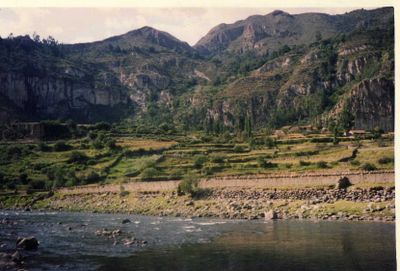
Laramate District, district in Ayacucho, Peru
Location: Lucanas Province
Elevation above the sea: 3,060 m
Shares border with: Palpa District, Llauta District, Sancos District, San Pedro de Palco District, Ocaña District
GPS coordinates: -14.28656,-74.84269
Latest update: April 3, 2025 04:41

Nazca Lines
55.5 km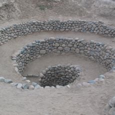
Puquios
61.3 km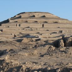
Cahuachi
66.2 km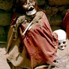
Chauchilla Cemetery
78.1 km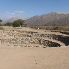
Cantalloc Aqueducts
60.6 km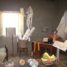
Museo Maria Reiche
54.3 km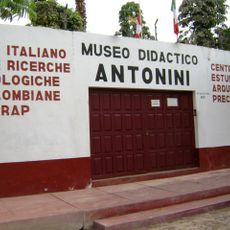
Museo Arqueológico Antonini
60.7 km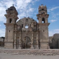
San José of Nazca church
52.7 km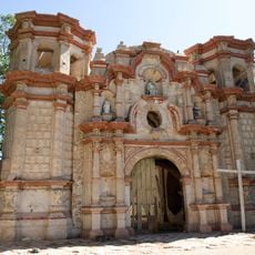
Saint Xavier of Nazca church
56 km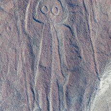
Nazca Owlman geoglyph
57.1 km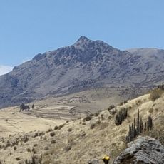
Kunturillu
54.7 km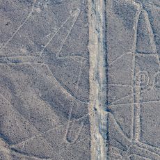
Nazca Whale geoglyph
61.2 km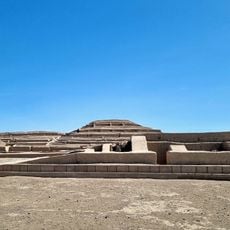
Cahuachi Pyramids
66.3 km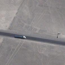
Nazca Lizard geoglyph
53.9 km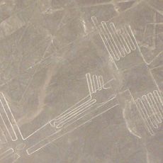
Nazca Pelican geoglyph
52.9 km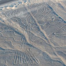
Nazca Tree geoglyph
54 km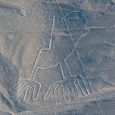
Nazca Hands geoglyph
54 km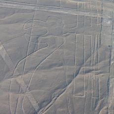
Nazca Parrot geoglyph
53.2 km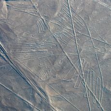
Nazca Condor Geoglyph
55 km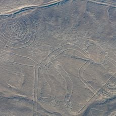
Nazca Monkey geoglyph
56.6 km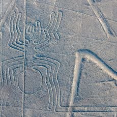
Nazca Spider geoglyph
54.5 km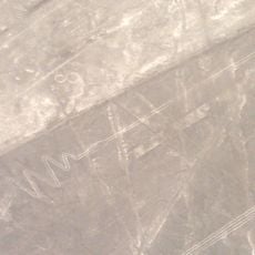
Nazca Flamingo geoglyph
53.2 km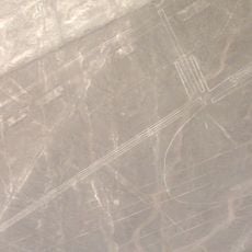
Nazca Frigate Bird geoglyph
53.1 km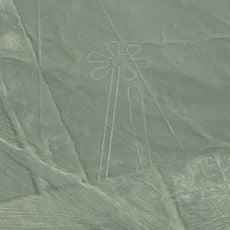
Nazca Flower geoglyph
54.2 km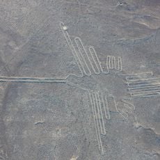
Nazca Hummingbird geoglyph
55.9 km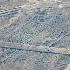
Nazca Mushroom geoglyph
55.6 km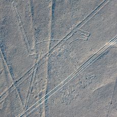
Nazca Dog geoglyph
56.1 km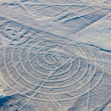
Nazca Small Spiral geoglyph
55 kmReviews
Visited this place? Tap the stars to rate it and share your experience / photos with the community! Try now! You can cancel it anytime.
Discover hidden gems everywhere you go!
From secret cafés to breathtaking viewpoints, skip the crowded tourist spots and find places that match your style. Our app makes it easy with voice search, smart filtering, route optimization, and insider tips from travelers worldwide. Download now for the complete mobile experience.

A unique approach to discovering new places❞
— Le Figaro
All the places worth exploring❞
— France Info
A tailor-made excursion in just a few clicks❞
— 20 Minutes