
Qala i Naw, district of Badghis, Afghanistan
Location: Badghis
Elevation above the sea: 1,169 m
GPS coordinates: 34.88199,63.05603
Latest update: March 11, 2025 00:07

Minaret of Jam
144.2 km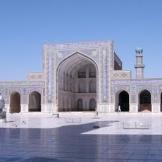
Friday Mosque of Herat
99.1 km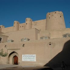
Herat Citadel
99.4 km
Mousallah Complex
98.7 km
Yu Aw Synagogue
100 km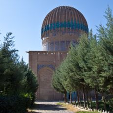
Gawhar Shad Mausoleum
98.9 km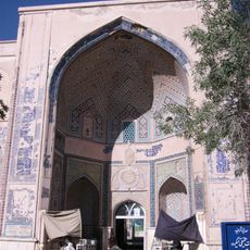
Khwaja 'Abd Allah Ansari shrine
93.7 km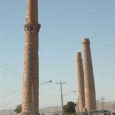
Musalla Minarets of Herat
98.7 km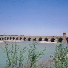
Malan bridge
103.3 km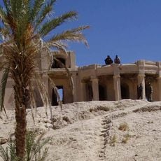
Farah Citadel
291.7 km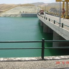
Iran–Turkmenistan Friendship Dam
208.8 km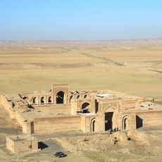
Sharaf Caravanserai
266.4 km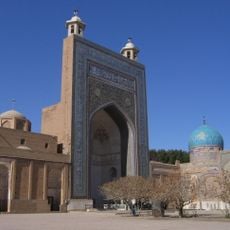
Ahmad-e Jam Mausoleum
224.8 km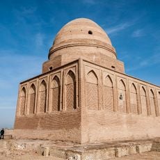
Tomb of Baba Loghman
253.7 km
Paropamisus
80.3 km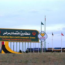
Sarakhs Special Economic Zone
250.9 km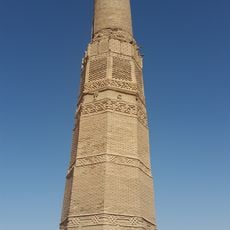
Karat Tower
230.8 km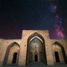
Abbasabad Complex
213.6 km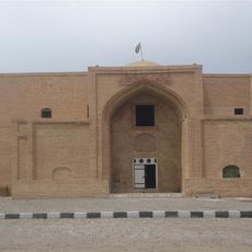
Qasem-e Anvar Mausoleum
245 km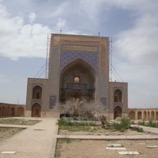
Zayn al-Din Taybadi Mausoleum
210 km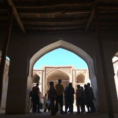
Jameh Mosque of Sangan
262.1 km
Nashtifan Windmill Complex
268.5 km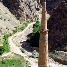
Minaret and Archaeological Remains of Jam
144.2 km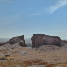
Mahi Caravanserai
278.8 km
Salami Garden
281.9 km
Soltan Soleyman Mausoleum
291.9 km
Abbasabad Caravanserai
213.7 km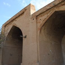
Abqah Shrine
239.8 kmReviews
Visited this place? Tap the stars to rate it and share your experience / photos with the community! Try now! You can cancel it anytime.
Discover hidden gems everywhere you go!
From secret cafés to breathtaking viewpoints, skip the crowded tourist spots and find places that match your style. Our app makes it easy with voice search, smart filtering, route optimization, and insider tips from travelers worldwide. Download now for the complete mobile experience.

A unique approach to discovering new places❞
— Le Figaro
All the places worth exploring❞
— France Info
A tailor-made excursion in just a few clicks❞
— 20 Minutes