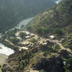
Ishkamish, district of Takhar, Afghanistan
Location: Takhar
Elevation above the sea: 1,384 m
GPS coordinates: 36.36722,69.39000
Latest update: March 3, 2025 23:40
Combat Outpost Keating
204 km
Qosh Tepa Canal
164.8 km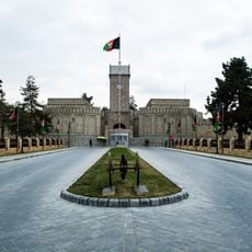
Arg
206.1 km
Shortugai
105.7 km
Ghazi Stadium
206.6 km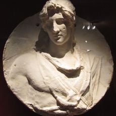
Alexandria on the Caucasus
153.2 km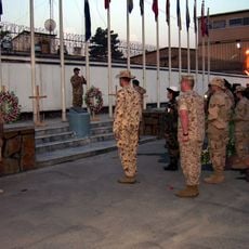
Camp Eggers
205.3 km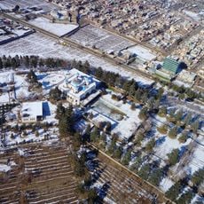
Bagh-e Bala Palace
204.7 km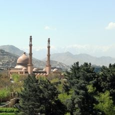
Abdul Rahman Mosque
206.5 km
Surkh Kotal
82 km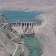
Naghlu Dam
194.4 km
Tigrovaya Balka Nature Reserve
126.3 km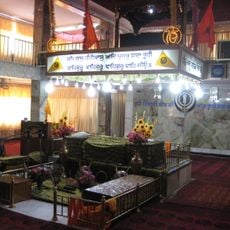
Gurdwara Karte Parwan
205.3 km
Takht-e Rostam
123.5 km
Bagram Hoard
156.1 km
Kabul Tower
205.1 km
Taq-e Zafar
201.7 km
Camp Warehouse
203.4 km
Paghman Hill Castle
202.1 km
Our Lady of Divine Providence Chapel, Kabul
205.4 km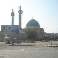
Abul Fazl Shrine
206.6 km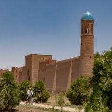
Palace of the governor of Khulbuk
157.7 km
Minar-i Chakri
198.8 km
Hajji Dunya Gul Niazi Jamia Masjid
201.1 km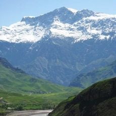
Kuh-e Kallat
193.9 km
Takht-e Rostam
122.4 km
Shuroobod-Brücke
190.1 km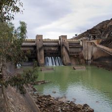
Sarobi Dam
201.3 kmReviews
Visited this place? Tap the stars to rate it and share your experience / photos with the community! Try now! You can cancel it anytime.
Discover hidden gems everywhere you go!
From secret cafés to breathtaking viewpoints, skip the crowded tourist spots and find places that match your style. Our app makes it easy with voice search, smart filtering, route optimization, and insider tips from travelers worldwide. Download now for the complete mobile experience.

A unique approach to discovering new places❞
— Le Figaro
All the places worth exploring❞
— France Info
A tailor-made excursion in just a few clicks❞
— 20 Minutes