Shirin Tagab, district of Faryab, Afghanistan
Location: Faryab
Elevation above the sea: 525 m
GPS coordinates: 36.26750,64.85250
Latest update: March 5, 2025 23:40
Merv
285 km
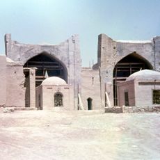
Blue Mosque
208 km
Minaret of Jam
210.5 km
Band-e Amir National Park
267.7 km
Tillya Tepe
96.4 km
Qala-i-Jangi
195.9 km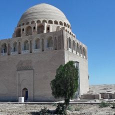
Sultan Sanjar's mausoleum
285.2 km
Teshik-Tash
278.5 km
Cyropolis
189.4 km
Takht-e Rostam
284.5 km
Balalyk Tepe
246.8 km
Haji Piyada
190.3 km
Repetek Biosphere State Reserve
277.5 km
Green Mosque
190.9 km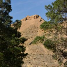
Tavka Kurgan
249.8 km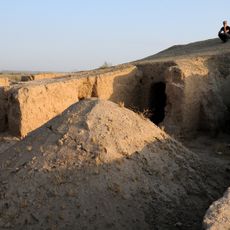
Kara Tepe
236.3 km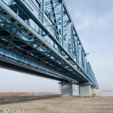
Atamurat-Kerkichi Bridge
178.4 km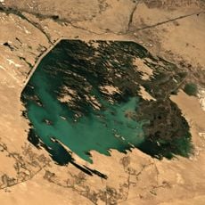
Zeid reservoir
138.9 km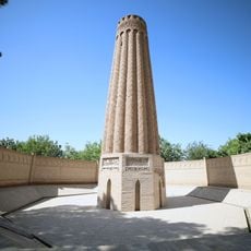
Jarkurgan minaret
263.5 km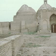
Astana-Baba-Mausoleum
183.8 km
Zadian Minaret
204.9 km
Paropamisus
217.8 km
Alexander Nevsky Church in Termiz
260.5 km
Aq Köprük
150.9 km
Zurmala Stupa
227.4 km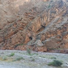
Surkhan State Nature Reserve
239.4 km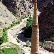
Minaret and Archaeological Remains of Jam
210.5 km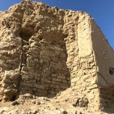
Erk Kala
283.5 kmReviews
Visited this place? Tap the stars to rate it and share your experience / photos with the community! Try now! You can cancel it anytime.
Discover hidden gems everywhere you go!
From secret cafés to breathtaking viewpoints, skip the crowded tourist spots and find places that match your style. Our app makes it easy with voice search, smart filtering, route optimization, and insider tips from travelers worldwide. Download now for the complete mobile experience.

A unique approach to discovering new places❞
— Le Figaro
All the places worth exploring❞
— France Info
A tailor-made excursion in just a few clicks❞
— 20 Minutes