
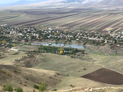
Vardablur, village in Lori Province of Armenia
Location: Lori Region
Elevation above the sea: 1,325 m
GPS coordinates: 40.97080,44.50890
Latest update: March 30, 2025 14:50
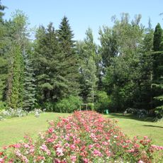
Stepanavan Dendropark
4.4 km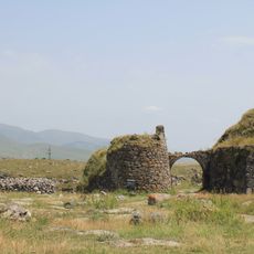
Lori Berd Fortress
7.4 km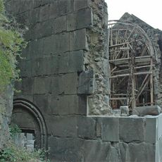
Kobayr monastery
11.3 km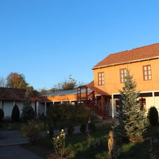
House-Museum of Hovhannes Tumanian
11.1 km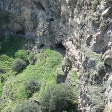
Horomayri Monastery
12.3 km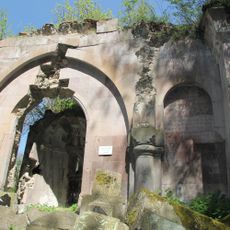
Surb Grigori Bardzrakash Monastery
12.6 km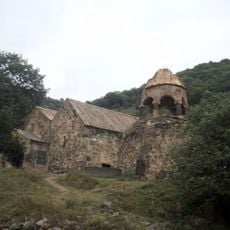
Ardvi monastery
8.6 km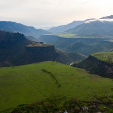
Debed Canyon
12.5 km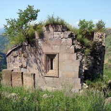
Քառասնից Մանկանց վանք
11.2 km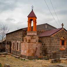
Lusavorich church, Dsegh
12 km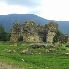
Tormak Church
4.1 km
Surb Astvatsatsin church
5.1 km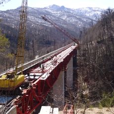
Мост Заманлу (Замарлу)
11.9 km
Gargar Saint Hovhannes church
5.9 km
Chgnavori Vank
10.4 km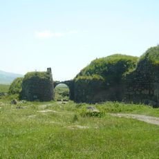
Loré
7.4 km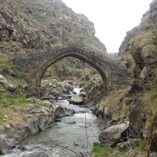
Lori Fortress Bridge
7.5 km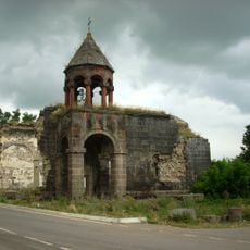
Գյուլագարակի եկեղեցի
3.3 km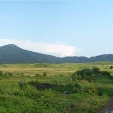
Arjasar
9 km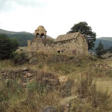
Սրբանեսի վանք
8.6 km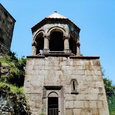
Kobayr Monastery
11.3 km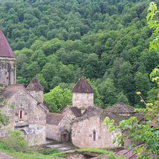
Northern Armenia
6.6 km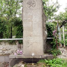
Հուշաղբյուր՝ Երկրորդ աշխարհամարտում զոհվածներին
12.3 km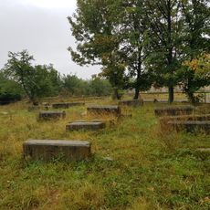
Cemetery at Red Monastery, Lejan
7 km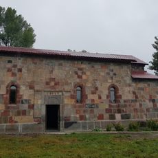
Red Monastery, Lejan
8.1 km
Եկեղեցի Սբ. Սարգիս
10.5 km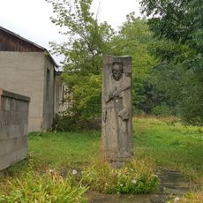
Memorial to WWII victims, Agarak, Lori
5.7 km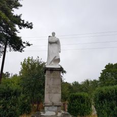
WW2 Monument Lejan, Lori
8.2 kmReviews
Visited this place? Tap the stars to rate it and share your experience / photos with the community! Try now! You can cancel it anytime.
Discover hidden gems everywhere you go!
From secret cafés to breathtaking viewpoints, skip the crowded tourist spots and find places that match your style. Our app makes it easy with voice search, smart filtering, route optimization, and insider tips from travelers worldwide. Download now for the complete mobile experience.

A unique approach to discovering new places❞
— Le Figaro
All the places worth exploring❞
— France Info
A tailor-made excursion in just a few clicks❞
— 20 Minutes