
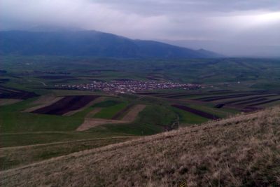
Fantan, village in Kotayk Province of Armenia
Location: Kotayk Province
Elevation above the sea: 1,800 m
GPS coordinates: 40.39417,44.68500
Latest update: March 3, 2025 13:07
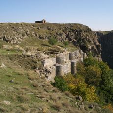
Bjni Fortress
7.9 km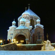
Saint John the Baptist Church
13.9 km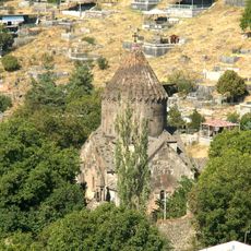
Church of the Holy Mother of God, Bjni
8 km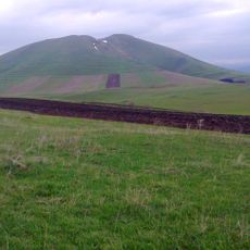
Gutanasar
2.9 km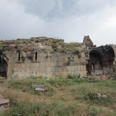
Neghuts Monastery
11 km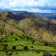
Tsaghkunyats
15.1 km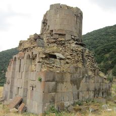
Mayravank (Solak)
10.2 km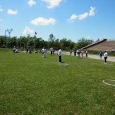
Charentsavan City Stadium
3.7 km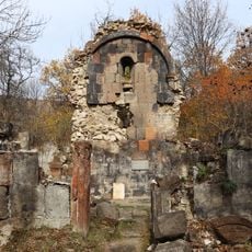
Არზაკანის ღვთისმშობლის ეკლესია
12.9 km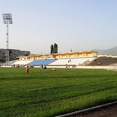
Abovyan City Stadium
14.6 km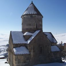
Makravank Monastery
15.1 km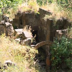
Ghuki Vank
11.9 km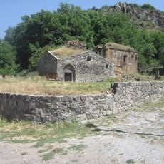
Կարենիսի վանք
6.8 km
Aghbyurak Reservoir
13.6 km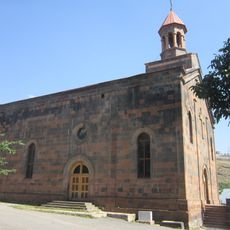
ALAPARS SAINT HOLY MOTHER
5.2 km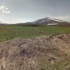
Menaksar
10.4 km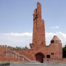
Armenian Genocide Memorial in Nor Hachen
13.3 km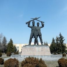
Armenian-Russian Monument
13.8 km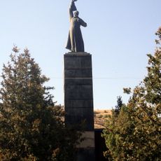
World War II monument in Arzakan
9.2 km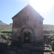
Poghos Petros Monastery
13.4 km
Saint Gevorg church of Argel
7.7 km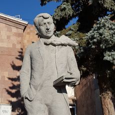
Հուշարձան Եղիշե Չարենցի
3.4 km
Եկեղեցի Սբ. Պետրոս
13.4 km
Մատուռ Թուխ Մանուկ
5.5 km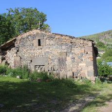
Եկեղեցի Սբ. Գևորգ
7.6 km
Եկեղեցական համալիր Պողոս-Պետրոս
13.4 km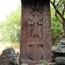
Khachkar
8.1 km
Սրբատեղի Սբ. Կարապետ
11.8 kmReviews
Visited this place? Tap the stars to rate it and share your experience / photos with the community! Try now! You can cancel it anytime.
Discover hidden gems everywhere you go!
From secret cafés to breathtaking viewpoints, skip the crowded tourist spots and find places that match your style. Our app makes it easy with voice search, smart filtering, route optimization, and insider tips from travelers worldwide. Download now for the complete mobile experience.

A unique approach to discovering new places❞
— Le Figaro
All the places worth exploring❞
— France Info
A tailor-made excursion in just a few clicks❞
— 20 Minutes