
Lucapa, municipality of Angola
Location: Lunda Norte Province
Elevation above the sea: 928 m
GPS coordinates: -8.42280,20.73930
Latest update: April 17, 2025 23:49
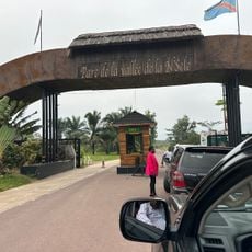
Nsele Valley Park
730.9 km
Liuwa Plain National Park
709.9 km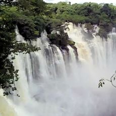
Kalandula Falls
526.4 km
Upemba National Park
646.4 km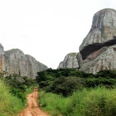
Pedras Negras de Pungo Andongo
583.3 km
Laúca Dam
634.3 km
Kisantu Botanical garden
725.4 km
Cangandala National Park
464.5 km
Upemba Depression
623.5 km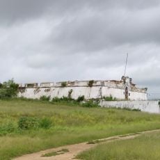
Massangano Fort
725.2 km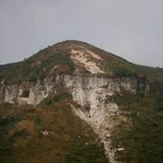
Mont Mangengenge
727.7 km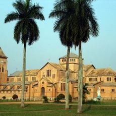
Our Lady of Seven Sorrows Cathedral, Kisantu
725 km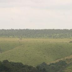
Domaine et réserve de Bombo-Lumene
662.8 km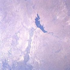
Lake Nzilo
587.1 km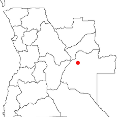
Karipande
552.5 km
Stade des Jeunes
334.8 km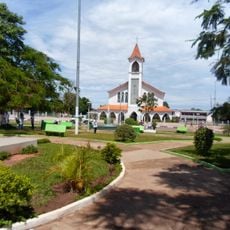
Our Lady of the Assumption Cathedral, Saurimo
142.3 km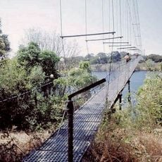
Chinyingi Bridge
602.4 km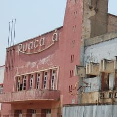
Cine Ruacaná
729.2 km
Monte Catuco
732.3 km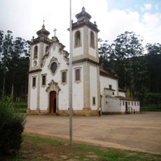
Igreja Matriz de Uaco Cungo
698.3 km
Monte Canhanela
744.2 km
Monte Tchilengue
721.3 km
Monte Candjangui
739.1 km
Monte Casseque
740.1 km
Monte Cassuma
733.8 km
Monte Capacata
736.8 km
Monte Combeu
743.4 kmReviews
Visited this place? Tap the stars to rate it and share your experience / photos with the community! Try now! You can cancel it anytime.
Discover hidden gems everywhere you go!
From secret cafés to breathtaking viewpoints, skip the crowded tourist spots and find places that match your style. Our app makes it easy with voice search, smart filtering, route optimization, and insider tips from travelers worldwide. Download now for the complete mobile experience.

A unique approach to discovering new places❞
— Le Figaro
All the places worth exploring❞
— France Info
A tailor-made excursion in just a few clicks❞
— 20 Minutes