
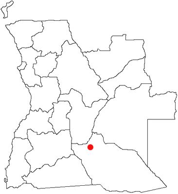
Menongue, municipality of Angola
Location: Cuando Cubango Province
Elevation above the sea: 1,131 m
GPS coordinates: -14.65560,17.68420
Latest update: March 3, 2025 09:34
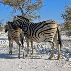
Etosha National Park
484 km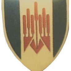
101 Battalion
428.5 km
Ombalantu Baobab
429.3 km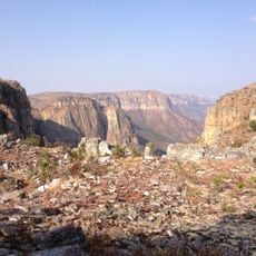
Tundavala Gap
463.6 km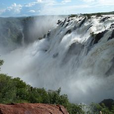
Ruacana Falls
480 km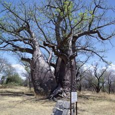
Baobab Tree
475.9 km
Luengue-Luiana National Park
493.8 km
Mupa National Park
265.7 km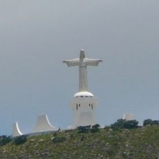
Cristo Rei, Lubango
450.2 km
Bicuari National Park
317.3 km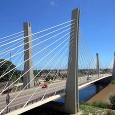
4 de Abril Bridge
511.9 km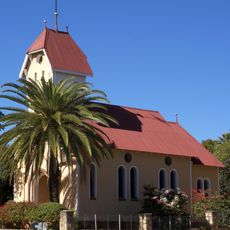
St. Barbara Catholic Church
510.9 km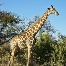
Mavinga National Park
322.8 km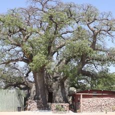
Okahao Baobab
456.3 km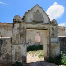
Fort Saint Peter
511.8 km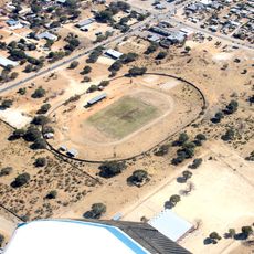
Rundu-Stadion
426.8 km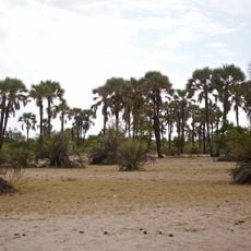
Omhedi Cultural Landscape
372.5 km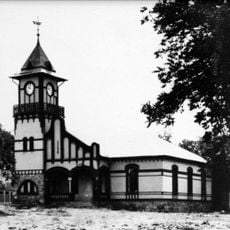
OMEG-Minenbüro
511.3 km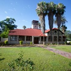
Second Director's House
511.3 km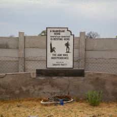
Monument of the Unknown PLAN Soldiers at Outapi
429 km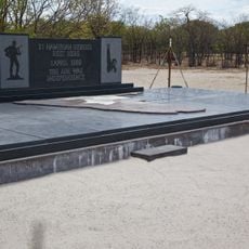
Monument of the Unknown PLAN Soldiers at Ondeshifiilwa
362.1 km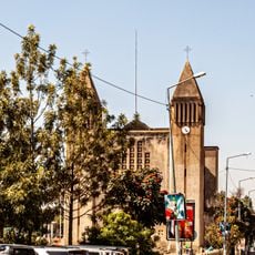
Saint-Joseph Cathedral in Lubango
451.5 km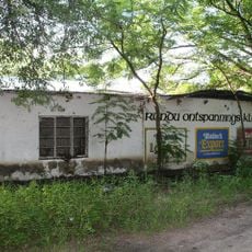
House of the first Native Commissioner of Kavango
426.5 km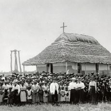
Nakambale House, Church and Cemetery
407.3 km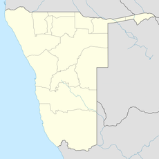
Rundu Rurale Est
427.3 km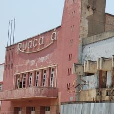
Cine Ruacaná
297 km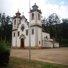
Igreja Matriz de Uaco Cungo
459.8 km
German Private School
511.3 kmReviews
Visited this place? Tap the stars to rate it and share your experience / photos with the community! Try now! You can cancel it anytime.
Discover hidden gems everywhere you go!
From secret cafés to breathtaking viewpoints, skip the crowded tourist spots and find places that match your style. Our app makes it easy with voice search, smart filtering, route optimization, and insider tips from travelers worldwide. Download now for the complete mobile experience.

A unique approach to discovering new places❞
— Le Figaro
All the places worth exploring❞
— France Info
A tailor-made excursion in just a few clicks❞
— 20 Minutes