Antuco, Chilean town
Location: Bío Bío province
Elevation above the sea: 553 m
Website: http://municipalidadantuco.cl/comunal.html
GPS coordinates: -37.33333,-71.68333
Latest update: April 5, 2025 21:07
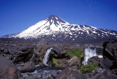
Laja Falls
63.4 km
Pincheira brothers
79.6 km
Copahue
73.3 km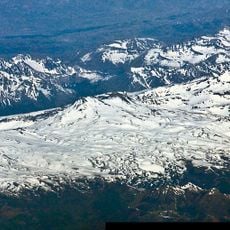
Nevados de Chillán
61.2 km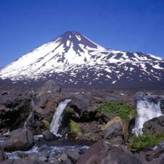
Antuco
30.6 km
Volcán Nuevo
58.4 km
Laguna del Laja National Park
29.5 km
Santuario de San Sebastián de Yumbel
82.1 km
Ralco National Reserve
66 km
Lagunas de Epulafquen
79.6 km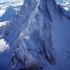
Sierra Velluda
27.9 km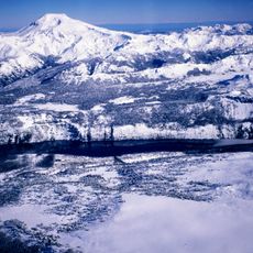
Callaqui
69.3 km
Los Huemules de Niblinto National Reserve
66.9 km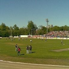
Estadio Municipal de Los Ángeles
61.9 km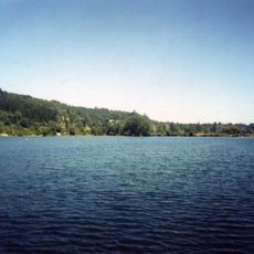
Laguna Trupán
13.1 km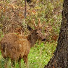
Ñuble National Reserve
42.6 km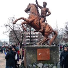
Plaza de Armas de Los Ángeles
61.1 km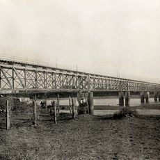
Puente ferroviario Biobío en Coihue
83.8 km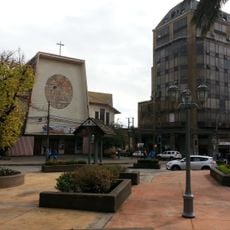
St. Mary of the Angels Cathedral
61.1 km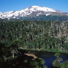
Parque provincial Copahue
70 km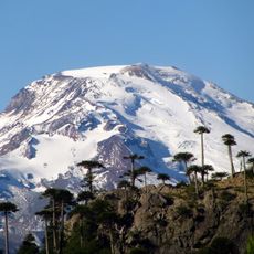
Pemehue
81.8 km
Capilla del Hospital San Sebastián
60.7 km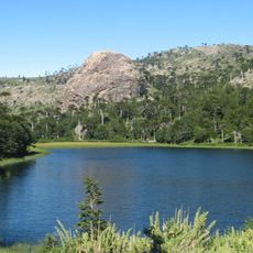
Altos de Pemehue National Reserve
70.7 km
Persa Monterrico
86.7 km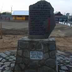
Memorial a las víctimas de la Población Purén
87.8 km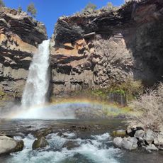
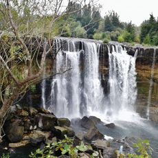
Salto Los Pellines
57.5 km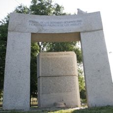
Memorial de los Detenidos Desaparecidos y Ejecutados Políticos de Los Ángeles
61.6 km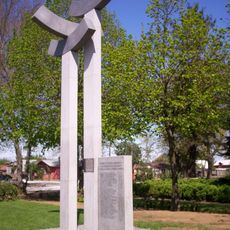
Memorial de Mulchén
65 kmVisited this place? Tap the stars to rate it and share your experience / photos with the community! Try now! You can cancel it anytime.
Discover hidden gems everywhere you go!
From secret cafés to breathtaking viewpoints, skip the crowded tourist spots and find places that match your style. Our app makes it easy with voice search, smart filtering, route optimization, and insider tips from travelers worldwide. Download now for the complete mobile experience.

A unique approach to discovering new places❞
— Le Figaro
All the places worth exploring❞
— France Info
A tailor-made excursion in just a few clicks❞
— 20 Minutes