
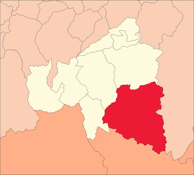
San Rafael District, district in Huánuco, Peru
Location: Ambo Province
Elevation above the sea: 2,694 m
Shares border with: Ticlacayán, Huariaca District, Pallanchacra, San Francisco District, Huacar District, Ambo District, Panao District
GPS coordinates: -10.33791,-76.18217
Latest update: March 5, 2025 20:13
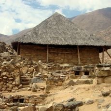
Kotosh
46.4 km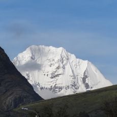
Siula Grande
77.9 km
Hombre de Lauricocha
56.8 km
Huayllay stone forest
76.4 km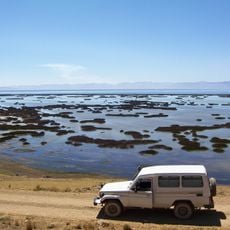
Junin National Reservation
61.2 km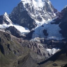
Yerupajá
79.6 km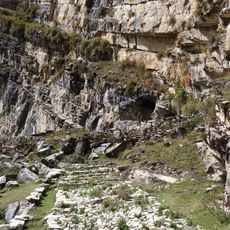
Cave of Lauricocha
50.7 km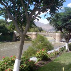
Puente Calicanto
45.6 km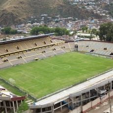
Estadio Heraclio Tapia
44.9 km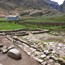
Warawtampu
41.3 km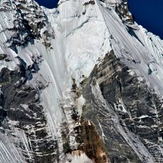
Jirishanca
80 km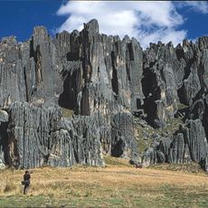
Huayllay National Sanctuary
70 km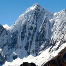
Rasac
81.3 km
Pumpu
65.8 km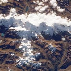
Cordillera Huayhuash Reserved Zone
74 km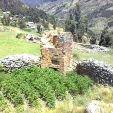
T'akaq
74 km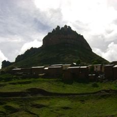
Laksha Warina
64.6 km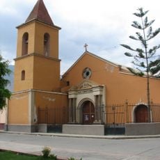
Iglesia de San Cristóbal, Huánuco
45.7 km
Waqurunchu
34.8 km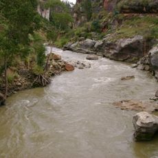
Lawriqucha River
67.3 km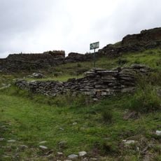
Garu
66.4 km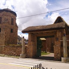
Iglesia San Pedro de Ninacaca
58.1 km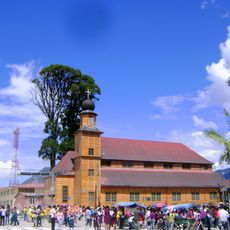
Iglesia Matriz Santa Rosa de Oxapampa
89.2 km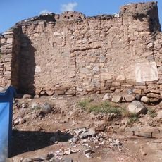
Shillacoto
45.3 km
Archaeological Center of Ichu Yanuna
53.3 km
Huaca Yarushpampa
41.5 km
Mazur
70.3 km
Goñicutac
33.2 kmReviews
Visited this place? Tap the stars to rate it and share your experience / photos with the community! Try now! You can cancel it anytime.
Discover hidden gems everywhere you go!
From secret cafés to breathtaking viewpoints, skip the crowded tourist spots and find places that match your style. Our app makes it easy with voice search, smart filtering, route optimization, and insider tips from travelers worldwide. Download now for the complete mobile experience.

A unique approach to discovering new places❞
— Le Figaro
All the places worth exploring❞
— France Info
A tailor-made excursion in just a few clicks❞
— 20 Minutes