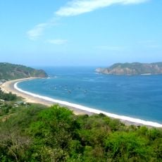
Punta Charapotó, parroquia rural del cantón Sucre
Location: Manabí Province
Location: Sucre Canton
Elevation above the sea: 72 m
GPS coordinates: -0.73278,-80.50306
Latest update: March 6, 2025 02:29
Machalilla National Park
99.3 km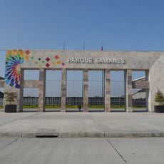
Park Samanes
166.8 km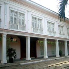
Parque Histórico de Guayaquil
172.3 km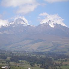
Illinizas Ecological Reserve
161.2 km
National Unity Bridge
174.3 km
Mache-Chindul Ecological Reserve
148.9 km
Terminal Terrestre de Guayaquil
171.7 km
Malecón del Salado
175.3 km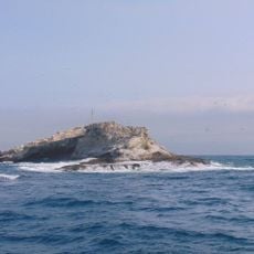
Reserva marina El Pelado
137.3 km
Estadio Reales Tamarindos
35.6 km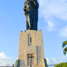
Monumento al Sagrado Corazón
175.3 km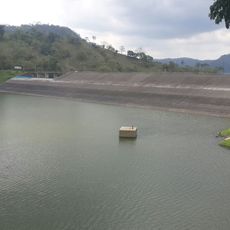
Poza Honda
54.7 km
Catedral Emperatriz de Santa Elena
170.9 km
Jardín botánico de Guayaquil
163.9 km
Divine Mercy Sanctuary
173.1 km
Botanical garden of Portoviejo
34.8 km
Museo Municipal de la Música Popular Julio Jaramillo
175.8 km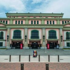
Teatro Sánchez Aguilar
172.1 km
Cárcel Municipal de Guayaquil
175.8 km
Jardín botánico La Carolina
157.5 km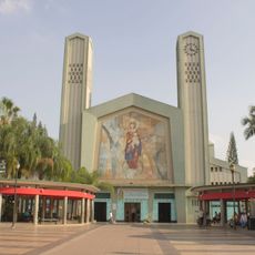
Our Lady of Mercy Cathedral, Babahoyo
160.5 km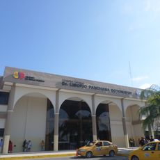
Hospital Liborio Panchana Sotomayor
171.3 km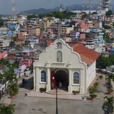
Capilla del Cerro Santa Ana
175.7 km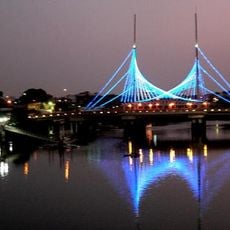
Velero Bridge
175.4 km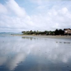
Muisne Beach
157.9 km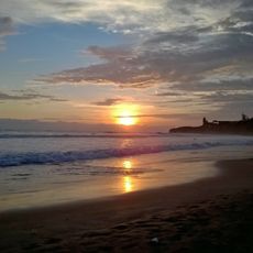
Montañita Beach
124.8 kmReviews
Visited this place? Tap the stars to rate it and share your experience / photos with the community! Try now! You can cancel it anytime.
Discover hidden gems everywhere you go!
From secret cafés to breathtaking viewpoints, skip the crowded tourist spots and find places that match your style. Our app makes it easy with voice search, smart filtering, route optimization, and insider tips from travelers worldwide. Download now for the complete mobile experience.

A unique approach to discovering new places❞
— Le Figaro
All the places worth exploring❞
— France Info
A tailor-made excursion in just a few clicks❞
— 20 Minutes