
San Isidro, parroquia rural del cantón Sucre
Location: Manabí Province
Location: Sucre Canton
GPS coordinates: -0.37947,-80.18681
Latest update: June 16, 2025 11:01
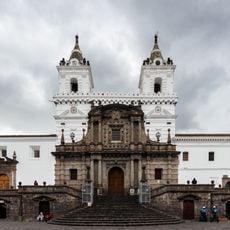
Church of Saint Francis
186.9 km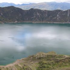
Quilotoa
152.8 km
Machalilla National Park
149.9 km
Pichincha Volcano
177.8 km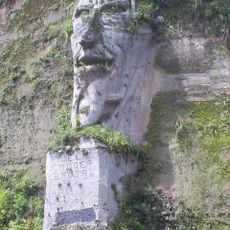
El poder brutal
153.3 km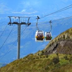
TelefériQo
186.9 km
Panopticon
186.3 km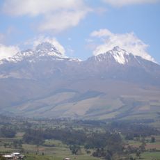
Illinizas Ecological Reserve
140.4 km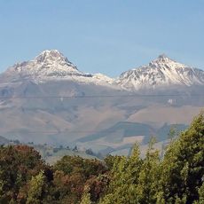
Illiniza volcano
166 km
Vulqano Park
186.9 km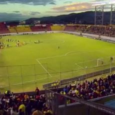
Estadio Chillogallo
183 km
Mache-Chindul Ecological Reserve
97.2 km
City Museum
186.9 km
Corazón volcano
170.7 km
Reserva marina El Pelado
185.5 km
Estadio Reales Tamarindos
80.2 km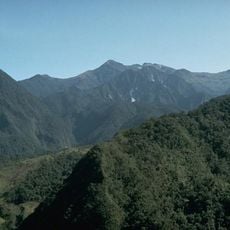
Volcano Atacazo
174.3 km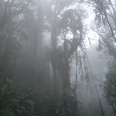
Bellavista Cloud Forest Reserve
172.4 km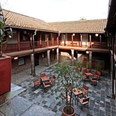
Casa del Alabado Pre-Columbian Art Museum
186.8 km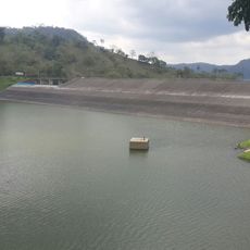
Poza Honda
82.4 km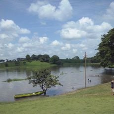
Abras de Mantequilla
134.2 km
Botanical garden of Portoviejo
79.5 km
Jardín botánico La Carolina
113.8 km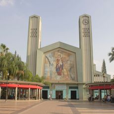
Our Lady of Mercy Cathedral, Babahoyo
174 km
Pre-Columbian Art Museum House of Praise
186.8 km
Playa de Súa
142.8 km
Sarapullo River
141.6 km
Muisne Beach
110.9 kmVisited this place? Tap the stars to rate it and share your experience / photos with the community! Try now! You can cancel it anytime.
Discover hidden gems everywhere you go!
From secret cafés to breathtaking viewpoints, skip the crowded tourist spots and find places that match your style. Our app makes it easy with voice search, smart filtering, route optimization, and insider tips from travelers worldwide. Download now for the complete mobile experience.

A unique approach to discovering new places❞
— Le Figaro
All the places worth exploring❞
— France Info
A tailor-made excursion in just a few clicks❞
— 20 Minutes