
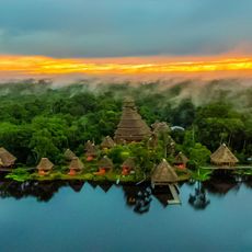
Pañacocha, rural parish of Sucumbíos Province, Ecuador
Location: Shushufindi Canton
GPS coordinates: -0.45124,-76.06998
Latest update: March 10, 2025 08:59
Yasuni National Park
35.6 km
Cuyabeno Wildlife Reserve
45.6 km
Limoncocha National Biological Reserve
59.3 km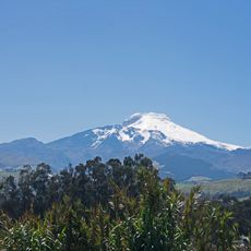
Cayambe
220.1 km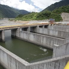
Coca Codo Sinclair Dam
182 km
Cayambe Coca National Park
200.5 km
Reventador
181.6 km
Antisana National Park
224.4 km
La Corota Island Flora Sanctuary
213.2 km
Sumaco Napo-Galeras National Park
165.8 km
Estadio Departamental Libertad
227.5 km
Güeppi
98.4 km
Sumaco
173.6 km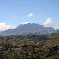
Doña Juana-Cascabel Volcanic Complex
229.1 km
Tiputini Biodiversity Station
22.7 km
Alto Fragua - Indi Wasi National Natural Park
204.9 km
Sagrado Corazón, Pasto
229.3 km
Nuestra Señora de la Merced
228.8 km
Santiago
229 km
Cristo Rey
229 km
Mulatos River
223.5 km
San Felipe Neri
229.1 km
Brigada 27 Mocoa
188.5 km
San Andrés
229.5 km
Torres de Santa Lucia
204.6 km
Registraduría Nacional Del Estado Civil
224.8 km
Wildsumaco Wildlife Sanctuary
172.1 km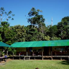
Shiripuno lodge
103.5 kmReviews
Visited this place? Tap the stars to rate it and share your experience / photos with the community! Try now! You can cancel it anytime.
Discover hidden gems everywhere you go!
From secret cafés to breathtaking viewpoints, skip the crowded tourist spots and find places that match your style. Our app makes it easy with voice search, smart filtering, route optimization, and insider tips from travelers worldwide. Download now for the complete mobile experience.

A unique approach to discovering new places❞
— Le Figaro
All the places worth exploring❞
— France Info
A tailor-made excursion in just a few clicks❞
— 20 Minutes