
Pano, Ortschaft und eine Parroquia rural („ländliches Kirchspiel“) im Kanton Tena der ecuadorianischen Provinz Napo
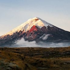
Cotopaxi volcano
74 km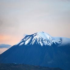
Tungurahua volcano
81.8 km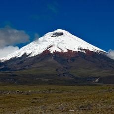
Cotopaxi National Park
73.7 km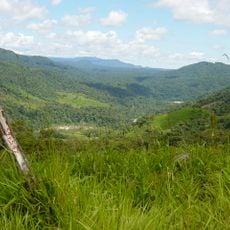
Sangay National Park
104.4 km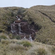
Llanganates National Park
42.8 km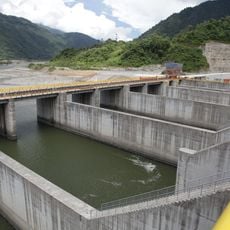
Coca Codo Sinclair Dam
93.7 km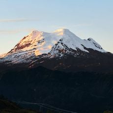
Antisana volcano
67 km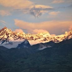
El Altar volcano
94.5 km
Reventador
107.1 km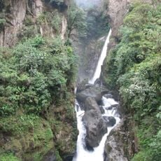
Cascada el Pailón del Diablo
64.2 km
Antisana National Park
57 km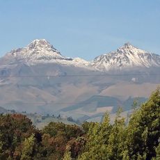
Illiniza volcano
103.6 km
El Chalupas
56.6 km
Sumaco Napo-Galeras National Park
82.1 km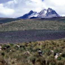
Carihuairazo volcano
107.5 km
Estadio Chillogallo
111.9 km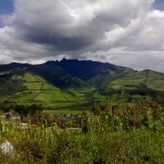
Refugio de vida silvestre Pasochoa
94.4 km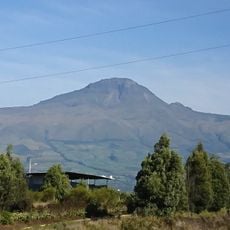
Corazón volcano
103.8 km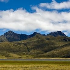
Rumiñahui volcano
86.2 km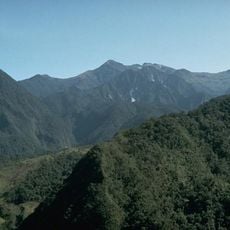
Volcano Atacazo
112.1 km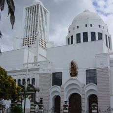
Cathedral Basilica of Our Lady of the Elevation
88.4 km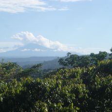
Sumaco
59.5 km
Centro Cultural Itchimbía
113.5 km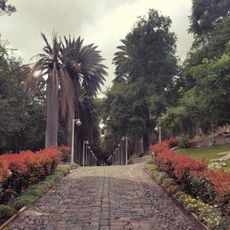
Atocha-La Liria Botanical Garden
87.4 km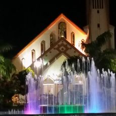
Our Lady of the Rosary Cathedral, Puyo
53.8 km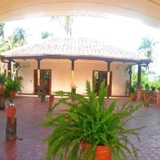
Martínez-Holguín House
87.2 km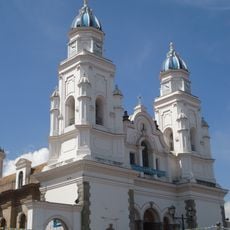
Basílica El Quinche
111.9 km
Mulatos River
13.8 kmReviews
Visited this place? Tap the stars to rate it and share your experience / photos with the community! Try now! You can cancel it anytime.
Discover hidden gems everywhere you go!
From secret cafés to breathtaking viewpoints, skip the crowded tourist spots and find places that match your style. Our app makes it easy with voice search, smart filtering, route optimization, and insider tips from travelers worldwide. Download now for the complete mobile experience.

A unique approach to discovering new places❞
— Le Figaro
All the places worth exploring❞
— France Info
A tailor-made excursion in just a few clicks❞
— 20 Minutes