
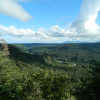
Loreto Canton, canton of Orellana province, Ecuador
Location: Orellana Province
Inception: August 7, 1992
Capital city: Loreto
Website: http://loreto.gob.ec
GPS coordinates: -0.69040,-77.30830
Latest update: March 19, 2025 04:07

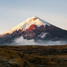
Cotopaxi volcano
125.7 km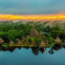
Yasuni National Park
134.8 km
Cotopaxi National Park
125.7 km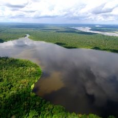
Limoncocha National Biological Reserve
85.2 km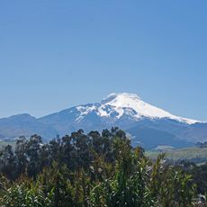
Cayambe
109.9 km
Llanganates National Park
114.2 km
Coca Codo Sinclair Dam
69 km
Cayambe Coca National Park
98.9 km
Antisana volcano
95.6 km
Reventador
78.3 km
La Capilla del Hombre
140.7 km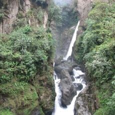
Cascada el Pailón del Diablo
135.6 km
Antisana National Park
87.5 km
El Chalupas
116.5 km
Sumaco Napo-Galeras National Park
46.8 km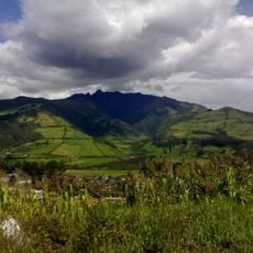
Refugio de vida silvestre Pasochoa
134.9 km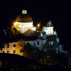
Church of Our Lady of Guápulo
140.9 km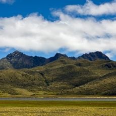
Rumiñahui volcano
134 km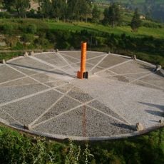
Quitsato Sundial
123.3 km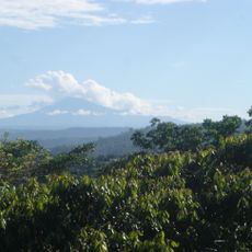
Sumaco
39.2 km
Mojanda
137.9 km
Hacienda Guachalá
120.2 km
Tiputini Biodiversity Station
129.1 km
Maquipucuna
139.1 km
Fundación Guayasamín
140.7 km
Our Lady of the Rosary Cathedral, Puyo
117.1 km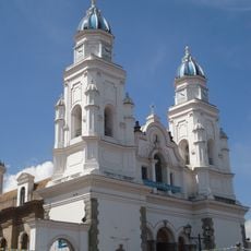
Basílica El Quinche
127.5 km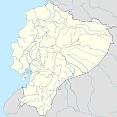
Mulatos River
85.5 kmReviews
Visited this place? Tap the stars to rate it and share your experience / photos with the community! Try now! You can cancel it anytime.
Discover hidden gems everywhere you go!
From secret cafés to breathtaking viewpoints, skip the crowded tourist spots and find places that match your style. Our app makes it easy with voice search, smart filtering, route optimization, and insider tips from travelers worldwide. Download now for the complete mobile experience.

A unique approach to discovering new places❞
— Le Figaro
All the places worth exploring❞
— France Info
A tailor-made excursion in just a few clicks❞
— 20 Minutes