Emilio San Martín District, district in Loreto, Peru
Location: Requena Province
Capital city: Tamanco
Elevation above the sea: 120 m
Shares border with: Tapiche District, Alto Tapiche District, Maquia District, Puinahua District, Capelo District
GPS coordinates: -5.79448,-74.28319
Latest update: March 4, 2025 05:33

Shanaya Tipishca
339.8 km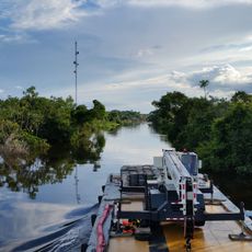
Pacaya-Samiria National Reserve
74 km
Javari Valley
215.5 km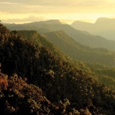
Cordillera Azul National Park
284.5 km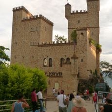
Castillo de Lamas
257.2 km
Complejo Turistico de Quistococha
243.3 km
Sierra del Divisor National Park
166.5 km
Allpahuayo-Mishana National Reserve
222.9 km
Serra do Divisor National Park
276.8 km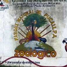
Parque Natural de Pucallpa
290.5 km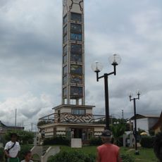
Fundación y colonización de Pucallpa
289.3 km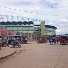
Estadio Aliardo Soria Pérez
289.9 km
Cordillera Escalera Regional Conservation Area
237.9 km
Tamshiyacu Tahuayo Regional Conservation Area
203.5 km
Cumbaza River
243.4 km
Pampachica beach
253 km
Catedral de Yurimaguas
202 km
Cashibo
291.9 km
Paraíso bridge
163.8 km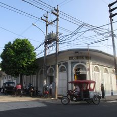
Casa Cohen
254.8 km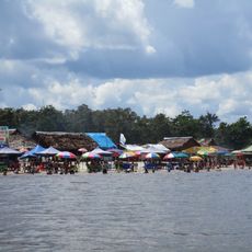
Playa de Tipishca
246.2 km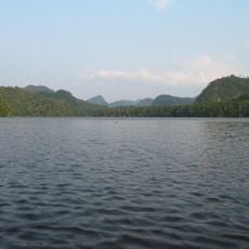
Pisqui River
282.7 km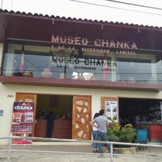
Museo Chanka y de la Diversidad Lamista
257 km
Museo Etno Arqueológico de Pachiza
322.2 km
Pacaya River
61.3 km
Museo de Ayahuasca / Tarapoto
241.2 km
Centro Cultural Joicy V. Bartra
222.2 km
Shipibo Library
278.7 kmReviews
Visited this place? Tap the stars to rate it and share your experience / photos with the community! Try now! You can cancel it anytime.
Discover hidden gems everywhere you go!
From secret cafés to breathtaking viewpoints, skip the crowded tourist spots and find places that match your style. Our app makes it easy with voice search, smart filtering, route optimization, and insider tips from travelers worldwide. Download now for the complete mobile experience.

A unique approach to discovering new places❞
— Le Figaro
All the places worth exploring❞
— France Info
A tailor-made excursion in just a few clicks❞
— 20 Minutes