
Pipinas, human settlement in Argentina
Location: Punta Indio Partido
Inception: 1913
GPS coordinates: -35.52896,-57.32825
Latest update: April 8, 2025 08:11
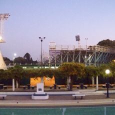
Juan Carmelo Zerillo Stadium
88.1 km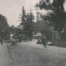
Paseo del Bosque
88.2 km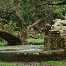
Parque Saavedra (La Plata)
86.7 km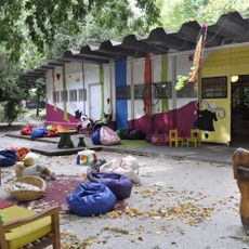
Popular Library On the other side of the tree
86.7 km
La Cacha
87.8 km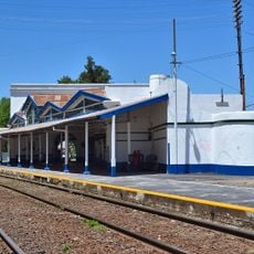
Chascomús railway station
62.5 km
Planetario de La Plata
88.2 km
Fuerte San Juan Bautista
60.9 km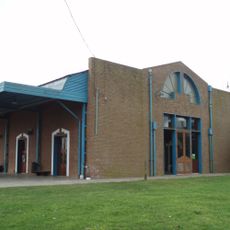
Chascomús railway and bus station
59.5 km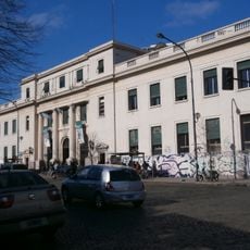
Public Library of La Plata National University
87.6 km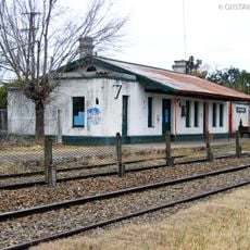
Jeppener train station
83.7 km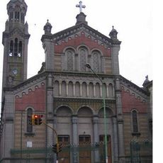
Basílica del Sagrado Corazón
88 km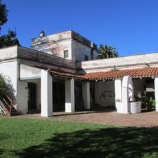
Museo Pampeano
62.6 km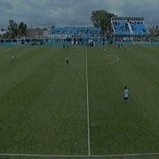
Estadio Genacio Sálice
87.7 km
La Plata Botanical garden
87.9 km
Casa Ecológica Municipal
88.1 km
Verónica train station
15.9 km
Puente de la Ciencia
87.6 km
Chascomús Cathedral
62.3 km
Estación Arditi
53.3 km
Área 60
84.7 km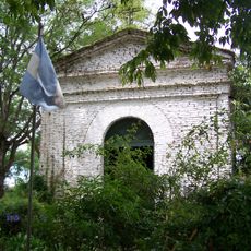
Capilla de los Negros
61.8 km
Municipalidad de Chascomús
62.3 km
Biblioteca Publica Dardo Rocha
87.6 km
Biblioteca Popular Dardo Rocha
86.3 km
Biblioteca Euforión
87.6 km
Biblioteca - Conicet - Instituto de Fisiología Vegetal
87.8 km
Casa Mariani - Teruggi
87.8 kmReviews
Visited this place? Tap the stars to rate it and share your experience / photos with the community! Try now! You can cancel it anytime.
Discover hidden gems everywhere you go!
From secret cafés to breathtaking viewpoints, skip the crowded tourist spots and find places that match your style. Our app makes it easy with voice search, smart filtering, route optimization, and insider tips from travelers worldwide. Download now for the complete mobile experience.

A unique approach to discovering new places❞
— Le Figaro
All the places worth exploring❞
— France Info
A tailor-made excursion in just a few clicks❞
— 20 Minutes