
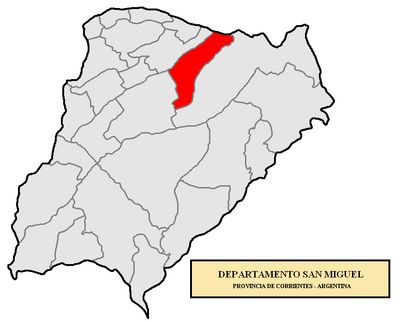
San Miguel Department, department of Argentina
Location: Corrientes Province
Elevation above the sea: 69 m
GPS coordinates: -28.00000,-57.60000
Latest update: March 10, 2025 00:31

Yverá Wetlands
70.1 km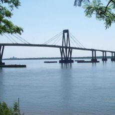
General Belgrano Bridge
137.5 km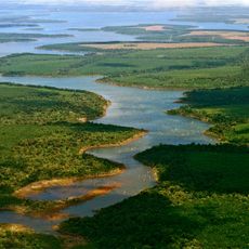
Iberá National Park
33.3 km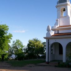
Isla del Cerrito
128.1 km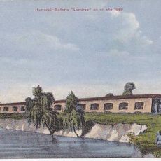
Humaitá Fortress
137.8 km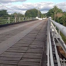
Puente Pexoa
121.1 km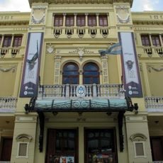
Teatro Juan de Vera
135.6 km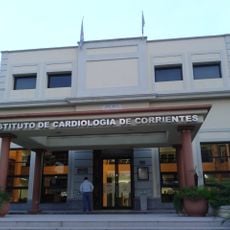
Instituto de Cardiología de Corrientes
135.1 km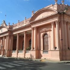
Casa de Gobierno de Corrientes
135.9 km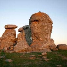
Itá Pucú
145 km
Iberá Provincial Reserve
69.6 km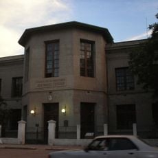
Escuela Normal José Manuel Estrada
134.7 km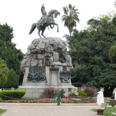
Conjunto Urbano Plaza 25 de Mayo
136 km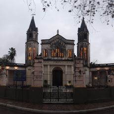
Convento de San Francisco
135.6 km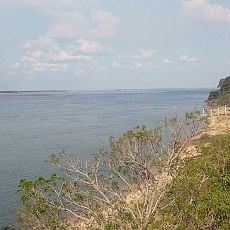
Yahapé
70.1 km
San Cayetano (Corrientes)
117.9 km
Proyecto reserva natural y cultural provincial Tres Cerros
139.8 km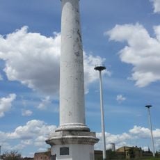
Columna conmemorativa de la fundación de Corrientes
134.3 km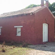
San Buenaventura del Monte Alto
143.5 km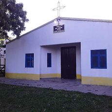
Ingenio Primer Correntino
119.1 km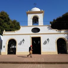
Parroquia Santa Ana de los Guácaras
120.3 km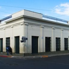
Casa del Gobernador Manuel Lagraña
135.8 km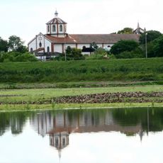
Cathedral (Pilar, Paraguay)
145.1 km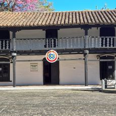
Museo Cabildo de Pilar
145.2 km
Universidad Nacional del Nordeste - Campus Resistencia
148.9 km
La Estación
140.8 km
Capilla de Santa Ana
120.3 km
Casa del Gobernador Manuel I. Lagraña
135.8 kmReviews
Visited this place? Tap the stars to rate it and share your experience / photos with the community! Try now! You can cancel it anytime.
Discover hidden gems everywhere you go!
From secret cafés to breathtaking viewpoints, skip the crowded tourist spots and find places that match your style. Our app makes it easy with voice search, smart filtering, route optimization, and insider tips from travelers worldwide. Download now for the complete mobile experience.

A unique approach to discovering new places❞
— Le Figaro
All the places worth exploring❞
— France Info
A tailor-made excursion in just a few clicks❞
— 20 Minutes