
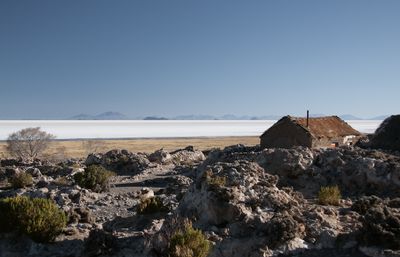
Tahua Municipality, municipality of Bolivia
Location: Daniel Campos Province
Elevation above the sea: 3,700 m
GPS coordinates: -20.30000,-67.40000
Latest update: March 2, 2025 23:21
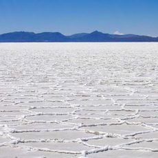
Salar de Uyuni
31.5 km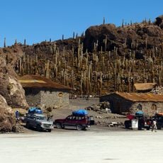
Isla Incahuasi
24.4 km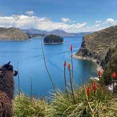
Titicaca basin
125.2 km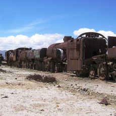
Uyuni Railway Scrap Yard
62 km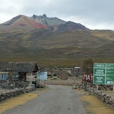
Tunupa volcano
58 km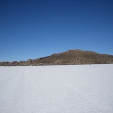
Island of the Fish
46.1 km
Cariquima
159.9 km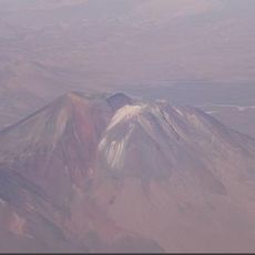
Irruputuncu
129.4 km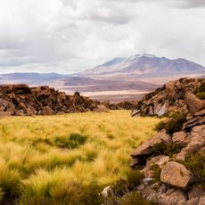
Volcán Olca
133.1 km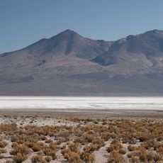
Salar de Chiguana
130.4 km
Alto Toroni
148.7 km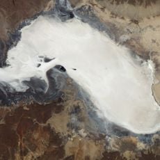
Salar de Empexa
117.5 km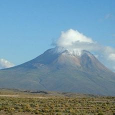
Volcán Cariquima
157.3 km
Wila Pukarani
144.7 km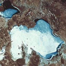
Jaruma
106.3 km
Waylla West
142.1 km
Laqaya
65.8 km
Mancha
97.3 km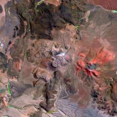
Cerro Porquesa
144.7 km
Wila Qullu
131.7 km
Thuwa
106.3 km
Qaral
70.1 km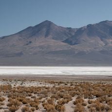
Luxsar
102.2 km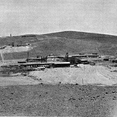
Mine de Collahuasi
156.7 km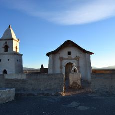
Iglesia de Achauta
171.1 km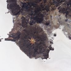
Jilarata
82.9 km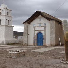
Iglesia de Cariquima
159.8 km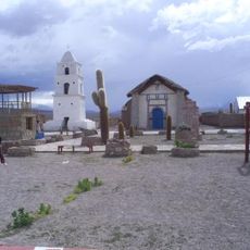
Iglesia de Cariquima
159.9 kmReviews
Visited this place? Tap the stars to rate it and share your experience / photos with the community! Try now! You can cancel it anytime.
Discover hidden gems everywhere you go!
From secret cafés to breathtaking viewpoints, skip the crowded tourist spots and find places that match your style. Our app makes it easy with voice search, smart filtering, route optimization, and insider tips from travelers worldwide. Download now for the complete mobile experience.

A unique approach to discovering new places❞
— Le Figaro
All the places worth exploring❞
— France Info
A tailor-made excursion in just a few clicks❞
— 20 Minutes