
Tonantins, municipality of Brazil
Location: Amazonas
Elevation above the sea: 62 m
Shares border with: Fonte Boa, Japurá, Jutaí, Santo Antônio do Içá
GPS coordinates: -2.87278,-67.80194
Latest update: April 4, 2025 13:21


Pico da Neblina
454.9 km
Amacayacu National Park
275.1 km
Piedra del Cocuy
470.5 km
Pico da Neblina National Park
411 km
Pico 31 de Março
455.6 km
Jaú National Park
581.9 km
Serranía La Neblina National Park
468.4 km
Piedra del Cocuy Natural Monument
470.5 km
Centro histórico de Iquitos
611.6 km
Santa Rosa Island
282.9 km
Mamirauá Sustainable Development Reserve
245.6 km
Morro dos Seis Lagos Biological Reserve
376.1 km
BAP América
611.8 km
Central Amazon Ecological Corridor
52.6 km
Médio Juruá Extractive Reserve
299.9 km
Forte de São José de Marabitanas
451.4 km
Tefé National Forest
321.7 km
Cué-cué/Marabitanas Indigenous Territory
425.9 km
Catuá-Ipixuna Extractive Reserve
417.4 km
Chineria Island
284.3 km
Uacari Sustainable Development Reserve
322.9 km
Natural Reserve Palmari
318.4 km
Auatí-Paraná Extractive Reserve
135.8 km
Parroquia de Santa Rosa de Lima (Mazán)
591.9 km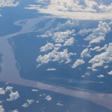
Ilha Aramacá
285.7 km
Cerros Vinilla y Aratitiyope Natural Monument
618.2 km
Sierra Unturan Natural Monument
578.7 km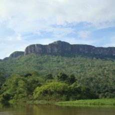
Cerros Tapirapecó y Tamacuari Natural Monument
574.7 kmReviews
Visited this place? Tap the stars to rate it and share your experience / photos with the community! Try now! You can cancel it anytime.
Discover hidden gems everywhere you go!
From secret cafés to breathtaking viewpoints, skip the crowded tourist spots and find places that match your style. Our app makes it easy with voice search, smart filtering, route optimization, and insider tips from travelers worldwide. Download now for the complete mobile experience.

A unique approach to discovering new places❞
— Le Figaro
All the places worth exploring❞
— France Info
A tailor-made excursion in just a few clicks❞
— 20 Minutes