
Prainha, municipality of Brazil
Location: Pará
Elevation above the sea: 70 m
Shares border with: Almeirim, Brasil Novo, Medicilândia, Monte Alegre, Porto de Moz, Santarém, Uruará
GPS coordinates: -1.80000,-53.48000
Latest update: March 3, 2025 21:26
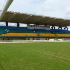
Milton de Souza Corrêa Stadium
333.9 km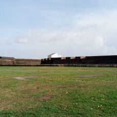
Fortaleza de São José de Macapá
338.7 km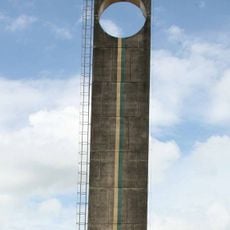
Marco Zero
334.2 km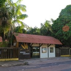
Museu Sacaca
336.9 km
João Fona cultural centre
153 km
Pau do Presidente
212 km
Macapá Central Market
338.5 km
Caxiuanã National Forest
227.6 km
Government of Amapá
398.2 km
National Forest Tapajós
260.6 km
Trapiche Eliezer Levy
339 km
Fort of Saint Antony of Gurupá
209.1 km
Terra do Meio Ecological Station
239.8 km
Rio Cajari Extractive Reserve
205.5 km
Maicuru Biological Reserve
349 km
Rio Trombetas Biological Reserve
359.8 km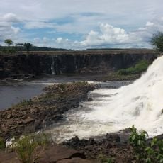
Jari Ecological Station
168 km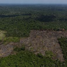
Trincheira/Bacajá Indigenous Territory
395.9 km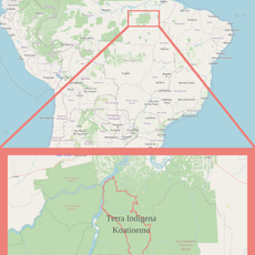
Terra Indígena Koatinemo
306.1 km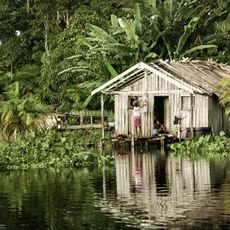
Charapucu State Park
365.5 km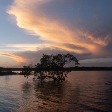
Tapajós-Arapiuns Extractive Reserve
272.8 km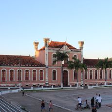
Forte Gurjão
228.2 km
Trairão National Forest
415.1 km
Rio Xingu Extractive Reserve
297.7 km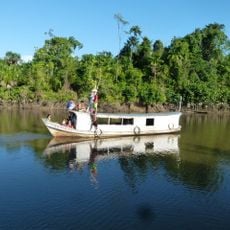
Reserva de Desenvolvimento Sustentável Itatupã-Baquiá
272.2 km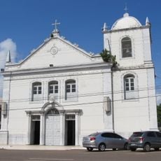
Parish Church of Saint Joseph of Macapá
338.9 km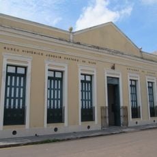
Museu Histórico Joaquim Caetano da Silva
338.8 km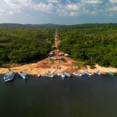
Quilombo Cachoeira Porteira
264.5 kmReviews
Visited this place? Tap the stars to rate it and share your experience / photos with the community! Try now! You can cancel it anytime.
Discover hidden gems everywhere you go!
From secret cafés to breathtaking viewpoints, skip the crowded tourist spots and find places that match your style. Our app makes it easy with voice search, smart filtering, route optimization, and insider tips from travelers worldwide. Download now for the complete mobile experience.

A unique approach to discovering new places❞
— Le Figaro
All the places worth exploring❞
— France Info
A tailor-made excursion in just a few clicks❞
— 20 Minutes