
Rurópolis, municipality of Brazil
Location: Pará
Elevation above the sea: 170 m
Shares border with: Altamira, Aveiro, Belterra, Itaituba, Placas
Website: https://ruropolis.com
GPS coordinates: -4.09583,-54.91000
Latest update: April 20, 2025 23:26
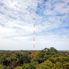
Amazon Tall Tower Observatory
504.3 km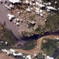
Forte de São José da Barra do Rio Negro
570.2 km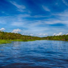
Amazônia National Park
217.7 km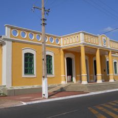
João Fona cultural centre
188 km
Juruena National Park
551.7 km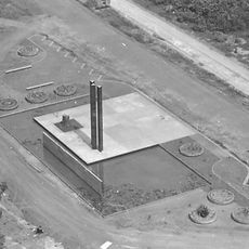
Pau do Presidente
322.5 km
Tapajós hydroelectric complex
162.7 km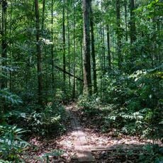
Caxiuanã National Forest
463.7 km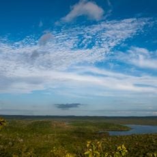
National Forest Tapajós
66.9 km
Serra do Pardo National Park
292 km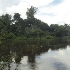
Jamanxim National Park
211.6 km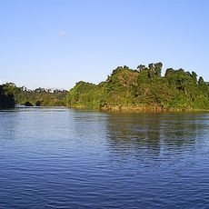
Rio Novo National Park
432.6 km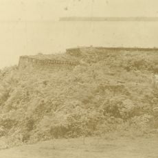
Fort of Saint Antony of Gurupá
471 km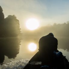
Terra do Meio Ecological Station
148.1 km
Rio Cajari Extractive Reserve
483.4 km
Jamanxim National Forest
394.1 km
Jari Ecological Station
468.9 km
Rio Trombetas Biological Reserve
386.2 km
Tapajós Environmental Protection Area
335.2 km
Uatumã Sustainable Development Reserve
461.1 km
Tapajós-Arapiuns Extractive Reserve
92.1 km
Crepori National Forest
354.1 km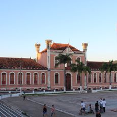
Forte Gurjão
252.2 km
Itaituba II National Forest
237.3 km
Trairão National Forest
114.5 km
Itaituba I National Forest
216.6 km
Moronas Lighthouse
551.9 km
Rio Xingu Extractive Reserve
243.5 kmReviews
Visited this place? Tap the stars to rate it and share your experience / photos with the community! Try now! You can cancel it anytime.
Discover hidden gems everywhere you go!
From secret cafés to breathtaking viewpoints, skip the crowded tourist spots and find places that match your style. Our app makes it easy with voice search, smart filtering, route optimization, and insider tips from travelers worldwide. Download now for the complete mobile experience.

A unique approach to discovering new places❞
— Le Figaro
All the places worth exploring❞
— France Info
A tailor-made excursion in just a few clicks❞
— 20 Minutes