
Sapucaia, municipality in Pará, Brazil
Location: Pará
Inception: 1996
Elevation above the sea: 192 m
Shares border with: Água Azul do Norte, Canaã dos Carajás, Curionópolis, Xinguara
GPS coordinates: -6.94117,-49.69814
Latest update: March 24, 2025 12:53

Chapada das Mesas National Park
282.2 km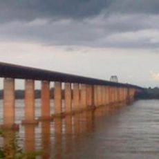
Marabá Combined Bridge
193.6 km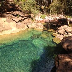
Poço Azul
359.8 km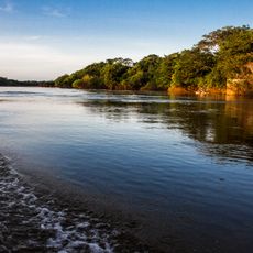
Cantão State Park
308.7 km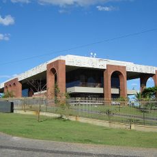
Araguaia Palace
391 km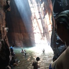
Pedra Caida
249.5 km
Carajás National Forest
111.4 km
Estádio Municipal Zinho de Oliveira
187.4 km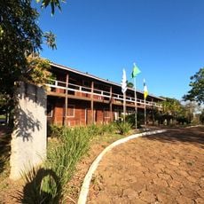
Museu Histórico do Tocantins
391.7 km
Monumento das Castanheiras Mortas
104 km
Kayapó Indigenous Territory
253.4 km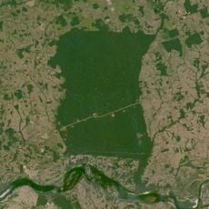
Terra Indígena Mãe Maria
220.4 km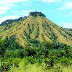
Lajeado State Park
386.4 km
Serra do Pardo National Park
377.6 km
Ponte Juscelino Kubitschek de Oliveira
251.1 km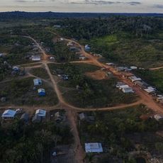
Apyterewa Indigenous Territory
297.8 km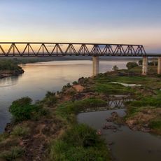
Puente Ferroviario de Estreito MA
251.1 km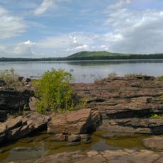
São Geraldo do Araguaia Environmental Protection Area
151.7 km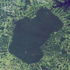
Parakanã Indigenous Territory
239.8 km
Cathedral of the Divine Holy Spirit in Palmas
391.3 km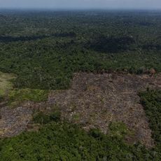
Trincheira/Bacajá Indigenous Territory
314.1 km
Tapirapé Biological Reserve
181.1 km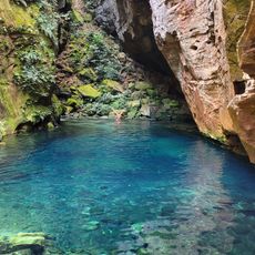
Encanto Azul
364.3 km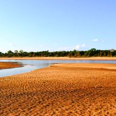
Ilha do Bananal / Cantão Environmental Protection Area
302.8 km
Serra dos Martírios/Andorinhas State Park
157 km
Biblioteca Pública Municipal Orlando Lima Lobo
187.5 km
Cajàzeira River
218.3 km
Catedral Nossa Senhora da Fátima, Imperatriz
290.8 kmReviews
Visited this place? Tap the stars to rate it and share your experience / photos with the community! Try now! You can cancel it anytime.
Discover hidden gems everywhere you go!
From secret cafés to breathtaking viewpoints, skip the crowded tourist spots and find places that match your style. Our app makes it easy with voice search, smart filtering, route optimization, and insider tips from travelers worldwide. Download now for the complete mobile experience.

A unique approach to discovering new places❞
— Le Figaro
All the places worth exploring❞
— France Info
A tailor-made excursion in just a few clicks❞
— 20 Minutes