
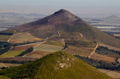
Klapmuts, village in the Western Cape, South Africa
Location: Stellenbosch Local Municipality
Elevation above the sea: 174 m
GPS coordinates: -33.80560,18.86970
Latest update: March 3, 2025 02:29
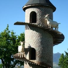
The Goat Tower
6.2 km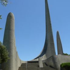
Afrikaans Language Monument
8.1 km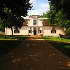
Boschendal
12.4 km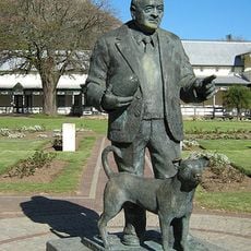
Danie Craven Stadium
15 km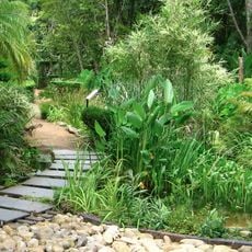
Stellenbosch University Botanical Garden
14.5 km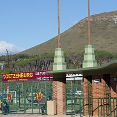
Coetzenburg Stadium
15 km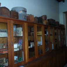
Stellenbosch Museum
14.7 km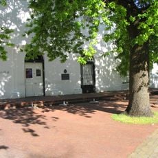
Skuinshuis
14.5 km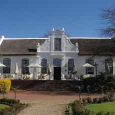
Neetlingshof Estate
9.8 km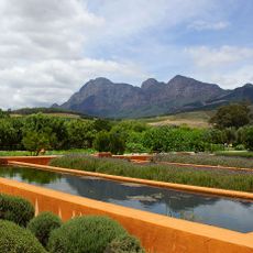
Babylonstoren
5.7 km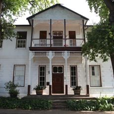
Saxenhof
14.8 km
Burgerhuis
14.6 km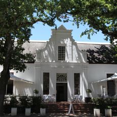
La Gratitude
14.9 km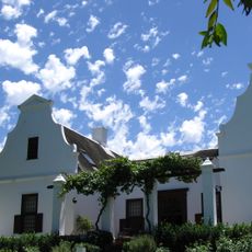
Vrede en Lust
8.5 km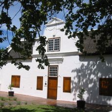
Die Braak
14.6 km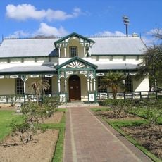
Jannie Marais House
14.8 km
Old Main Building, University of Stellenbosch
14 km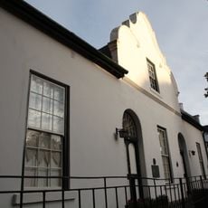
Morkel House
14.8 km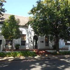
Hauptfleisch House
14.8 km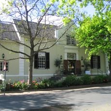
Oude Leeskamer
14.8 km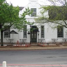
Stellenbosch Hotel
14.8 km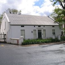
De Eiken
14.8 km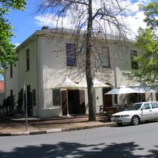
Devonshire House
14.7 km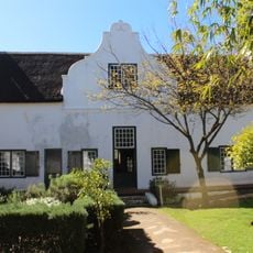
Bletterman House
14.6 km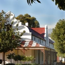
Mostertsdrif
14.4 km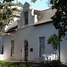
Loubscher House
14.8 km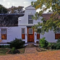
Laborie Main House
9.2 km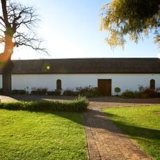
Laborie Wine Cellar
9.3 kmReviews
Visited this place? Tap the stars to rate it and share your experience / photos with the community! Try now! You can cancel it anytime.
Discover hidden gems everywhere you go!
From secret cafés to breathtaking viewpoints, skip the crowded tourist spots and find places that match your style. Our app makes it easy with voice search, smart filtering, route optimization, and insider tips from travelers worldwide. Download now for the complete mobile experience.

A unique approach to discovering new places❞
— Le Figaro
All the places worth exploring❞
— France Info
A tailor-made excursion in just a few clicks❞
— 20 Minutes