Muraro Dam, reservoir in Zimbabwe
Location: Mashonaland East Province
Elevation above the sea: 910 m
GPS coordinates: -17.24333,32.44111
Latest update: April 28, 2025 13:39
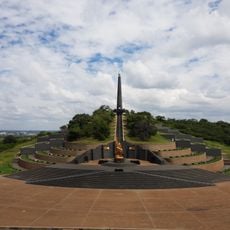
National Heroes Acre
167.7 km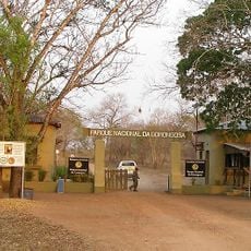
Gorongosa National Park
276.1 km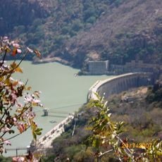
Cahora Bassa Dam
186.6 km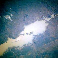
Cahora Bassa Reservoir
187.1 km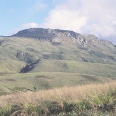
Mount Nyangani
125.2 km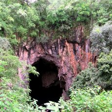
Chinhoyi Caves
246.5 km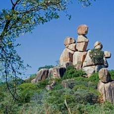
Balancing Rocks
156.4 km
Nyanga National Park
113.2 km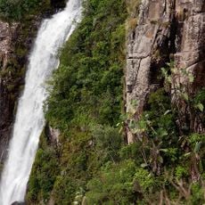
Mutarazi Falls
143.1 km
National Gallery of Zimbabwe
161.4 km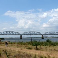
Dona Ana Bridge
278.3 km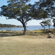
Lake Chivero
189.8 km
Majete Wildlife Reserve
287 km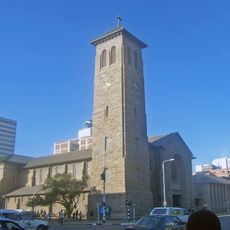
Cathedral of St Mary and All Saints, Harare
161.3 km
Lake Chivero Recreational Park
190.6 km
Zimbabwe Museum of Human Sciences
162.6 km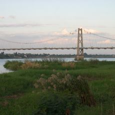
Samora Machel Bridge
172.6 km
Lengwe National Park
269.6 km
National Botanic Garden
160.1 km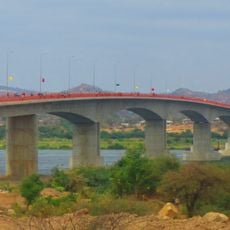
Kassuende Bridge
171.6 km
Magoe National Park
151.6 km
First Floor Gallery Harare
161.5 km
Lupata Gorge
180.4 km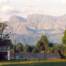
Chimanimani National Park
282.9 km
Angwa Sandstone Formation
241.4 km
Mount Zembe
245.6 km
Mutoroshanga Ethel Mine
185.5 km
Cinema Montalto
235 kmReviews
Visited this place? Tap the stars to rate it and share your experience / photos with the community! Try now! You can cancel it anytime.
Discover hidden gems everywhere you go!
From secret cafés to breathtaking viewpoints, skip the crowded tourist spots and find places that match your style. Our app makes it easy with voice search, smart filtering, route optimization, and insider tips from travelers worldwide. Download now for the complete mobile experience.

A unique approach to discovering new places❞
— Le Figaro
All the places worth exploring❞
— France Info
A tailor-made excursion in just a few clicks❞
— 20 Minutes