
Centre de Flacq, human settlement in Mauritius
Location: Flacq District
Elevation above the sea: 53 m
GPS coordinates: -20.20020,57.71766
Latest update: April 29, 2025 14:59
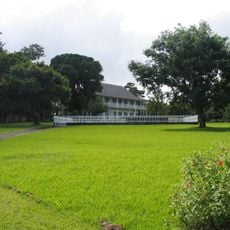
Sir Seewoosagur Ramgoolam Botanical Garden
17.9 km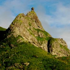
Pieter Both
16.9 km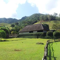
Vallée de Ferney
18.4 km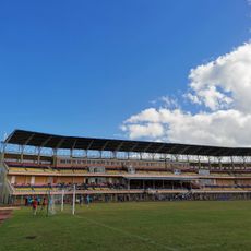
Stade Anjalay
18.3 km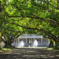
Chateau de Labourdonnais
17.5 km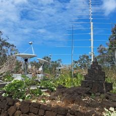
Mauritius Radio Telescope
6.8 km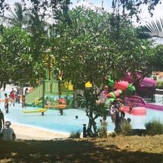
Waterpark
5.6 km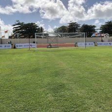
Stade Auguste Vollaire
1.6 km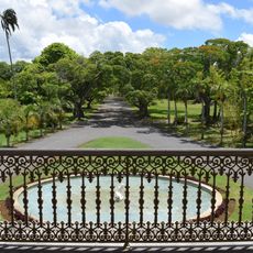
Château de Labourdonnais
17.7 km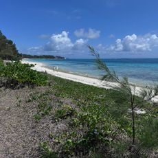
Belle Mare Public Beach
6.1 km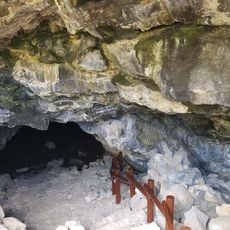
La Cave Madame
9.9 km
Domaine De Etoile
13.3 km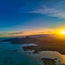
Parcours de golf de l'Ile aux Cerfs
11.9 km
Anahita Golf Course, Beau Champ, Mauritius
11.5 km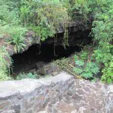
Roche Noire Lava Tubes
9.3 km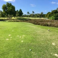
The Legend Golf Course - Belle Mare Plage
5.8 km
Quartier des Serres
17.9 km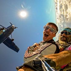
Skydive Austral
9.2 km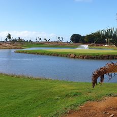
The Nine
11.7 km
West Peak (tumoy sa bukid sa Maurisyo)
5.8 km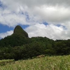
Piton du Milieu
16.9 km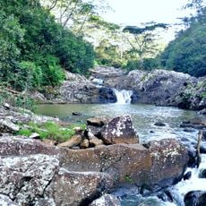
Cascade Diamamouve
13.2 km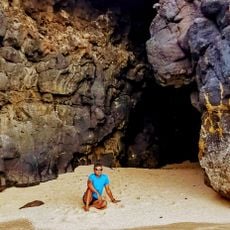
Princess Margaret Cave 3
9.4 km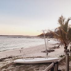
Out of the Blue
9.8 km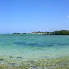
Poste Lafayette Public Beach
9 km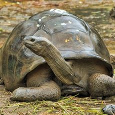
Tortoise Pen
17.9 km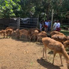
Deer Pen
17.9 km
Laplaz Mao
8.6 kmReviews
Visited this place? Tap the stars to rate it and share your experience / photos with the community! Try now! You can cancel it anytime.
Discover hidden gems everywhere you go!
From secret cafés to breathtaking viewpoints, skip the crowded tourist spots and find places that match your style. Our app makes it easy with voice search, smart filtering, route optimization, and insider tips from travelers worldwide. Download now for the complete mobile experience.

A unique approach to discovering new places❞
— Le Figaro
All the places worth exploring❞
— France Info
A tailor-made excursion in just a few clicks❞
— 20 Minutes