
Andapa, place in Sava, Madagascar
Location: Andapa District
Elevation above the sea: 530 m
Website: http://andapa.marojejy.com/
Website: http://andapa.marojejy.com
GPS coordinates: -14.65000,49.65000
Latest update: April 15, 2025 15:13

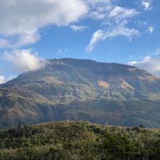
Maromokotro
101.5 km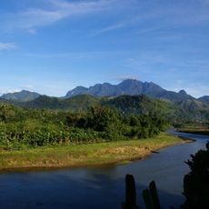
Marojejy National Park
21.1 km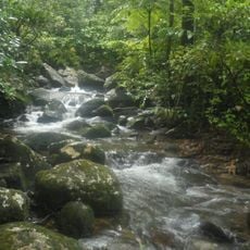
Masoala National Park
125.2 km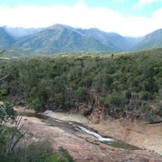
Rainforests of the Atsinanana
21.9 km
Amber Mountain National Park
234.9 km
Zahamena National Park
342.6 km
Red Tsingy
224.5 km
Lokobe Reserve
200.2 km
Tsaratanana Reserve
115.4 km
Parc naturel marin des Glorieuses
426.5 km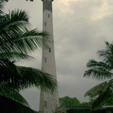
Leuchtturm l'île aux Prunes
378.9 km
Réserve naturelle nationale de l'archipel des Glorieuses
426.4 km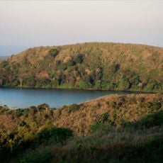
Mont Passot
213.1 km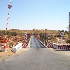
Betsiboka Bridge
385.4 km
Нусі-Бе (вулкан)
194.7 km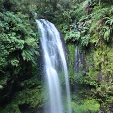
Cascade d'Antomboka
236.3 km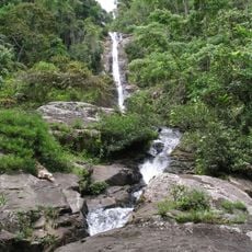
Humbert Falls
28.1 km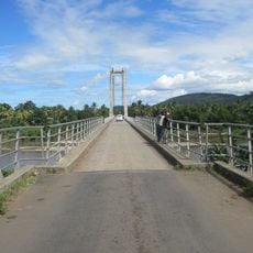
Fanambana Bridge
128.2 km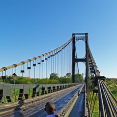
Pont de la Kamoro
333.8 km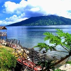
Antaninaomby
191.5 km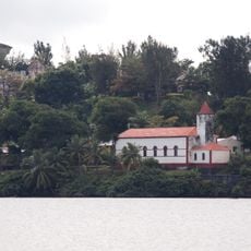
Saint Mary, Ambodifototra
263.1 km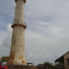
Pointe Katsépé Lighthouse
387.5 km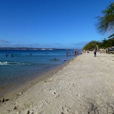
Ramena Beach
269.3 km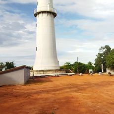
Phare du Katsepy
387.5 km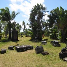
Pirates Cemetery
263.8 km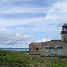
Cap Miné Lighthouse
270.9 km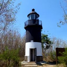
Tanikely Lighthouse
200.5 km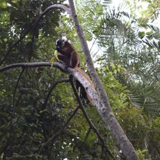
La "Réserve" de Lémuriens Nosy Komba
194.5 kmReviews
Visited this place? Tap the stars to rate it and share your experience / photos with the community! Try now! You can cancel it anytime.
Discover hidden gems everywhere you go!
From secret cafés to breathtaking viewpoints, skip the crowded tourist spots and find places that match your style. Our app makes it easy with voice search, smart filtering, route optimization, and insider tips from travelers worldwide. Download now for the complete mobile experience.

A unique approach to discovering new places❞
— Le Figaro
All the places worth exploring❞
— France Info
A tailor-made excursion in just a few clicks❞
— 20 Minutes