Taba Tinggi, village in Rejang Lebong Regency, Bengkulu Province, Indonesia
Location: Padang Ulak Tanding
GPS coordinates: -3.39100,102.80100
Latest update: April 3, 2025 10:42

Dempo
78.4 km
Kerinci Seblat National Park
182.3 km
Lake Ranau
206.8 km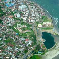
Fort Marlborough
75.4 km
Bung Karno Seclusion House
75.2 km
Tropical Rainforest Heritage of Sumatra
175.4 km
Prasasti Karang Berahi
152.7 km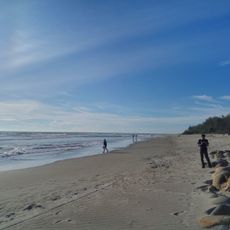
Panjang Beach
75.7 km
Mount Kaba
24.7 km
Hutan Wisata Punti Kayu
219.7 km
Balaputradeva Museum
220 km
Fatmawati's house
74.6 km
Bukit Duabelas National Park
172.4 km
Amanzi Waterpark
215.2 km
Gunung Masurai
139.8 km
Gentala Arasy Tower Museum
220.5 km
Mount Besar
151.4 km
Thomas Parr Monument
75.5 km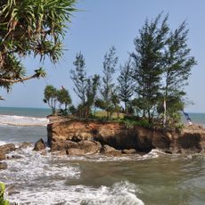
Sungai Suci Beach
72.7 km
Mount Kunyit
192.2 km
Serasan Sekate Stadium
128.3 km
Belirang-Beriti
93.8 km
Ikhsaniyyah Mosque
219.9 km
Akbar At-Taqwa Grand Mosque
75.5 km
Taman Rimbo
217.7 km
Mayang Club Waterpark
213.1 km
Tapak Paderi Beach
75 km
Maung
93.6 kmReviews
Visited this place? Tap the stars to rate it and share your experience / photos with the community! Try now! You can cancel it anytime.
Discover hidden gems everywhere you go!
From secret cafés to breathtaking viewpoints, skip the crowded tourist spots and find places that match your style. Our app makes it easy with voice search, smart filtering, route optimization, and insider tips from travelers worldwide. Download now for the complete mobile experience.

A unique approach to discovering new places❞
— Le Figaro
All the places worth exploring❞
— France Info
A tailor-made excursion in just a few clicks❞
— 20 Minutes