
Kampung Manggis, village in Padang Panjang Regency, West Sumatra Province, Indonesia
Location: Padang Panjang Barat
GPS coordinates: -0.47600,100.38400
Latest update: June 9, 2025 00:12
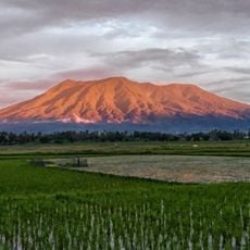
Marapi
12.5 km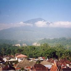
Mount Singgalang
11.1 km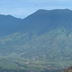
Mount Tandikat
8.9 km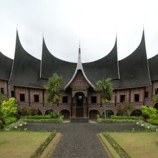
Minangkabau Culture Documentation and Information Center
863 m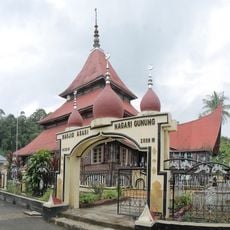
Asasi Mosque
4.8 km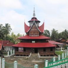
Lubuk Bauk Mosque
8.1 km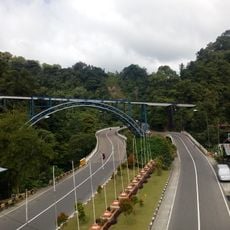
Padang Panjang Railway Bridge
1.9 km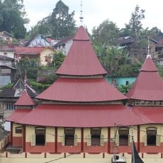
Ishlah Pariangan Mosque
12 km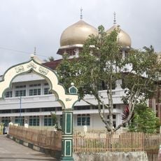
Jamik Sungai Jambu Mosque
15.1 km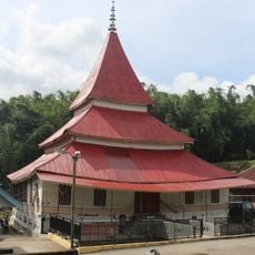
Tuanku Pamansiangan Mosque
5.8 km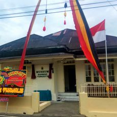
Rahmah El Yunusiyah Museum
2.3 km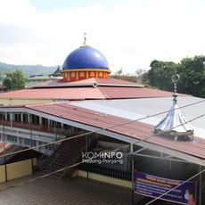
Masjid Zu'ama Jembatan Besi
2.3 km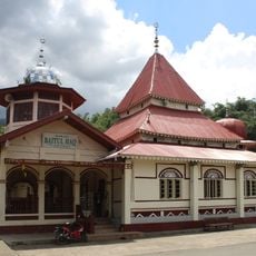
Surau Baitul Haq
15.3 km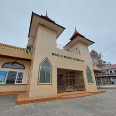
Masjid Makmur Simabur
14.1 km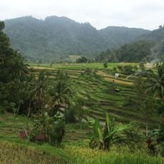
Terraced rice fields
12.5 km
Masjid Nurul Iman Bungo Tanjuang
11 km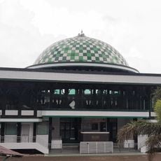
Masjid Raya Limo Suku
14.2 km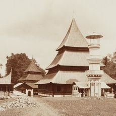
Masjid Jamik Padang Lua
15 km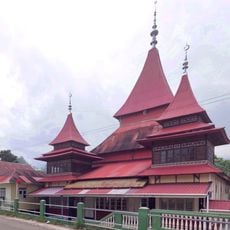
Batagak Grand Mosque
12 km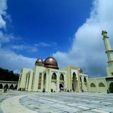
Islamic Center Padang Panjang
2.9 km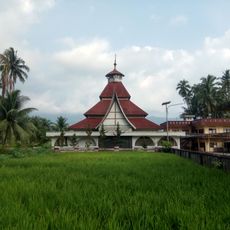
Kayutanam Big Mosque
10 km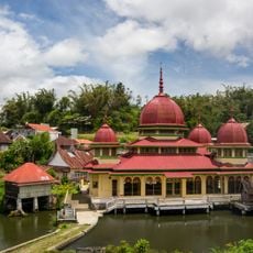
Jamik Darussalam Kotobaru Mosque
9.3 km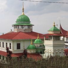
Syuhada Sariak Mosque
12.8 km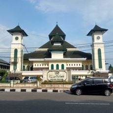
Jihaadu Waalidaina Mosque
2.5 km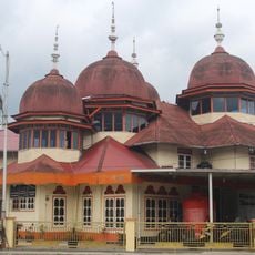
Taqwa Sungai Buluah Mosque
12.8 km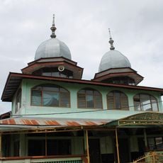
Masjid Jamik Batu Palano
10.8 km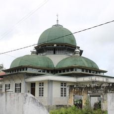
Masjid Jamik Kapalo Koto
13.3 km
Taufiq Ismail's Poetry House
7.4 kmReviews
Visited this place? Tap the stars to rate it and share your experience / photos with the community! Try now! You can cancel it anytime.
Discover hidden gems everywhere you go!
From secret cafés to breathtaking viewpoints, skip the crowded tourist spots and find places that match your style. Our app makes it easy with voice search, smart filtering, route optimization, and insider tips from travelers worldwide. Download now for the complete mobile experience.

A unique approach to discovering new places❞
— Le Figaro
All the places worth exploring❞
— France Info
A tailor-made excursion in just a few clicks❞
— 20 Minutes